File:OGF - UL08g - Plan.png
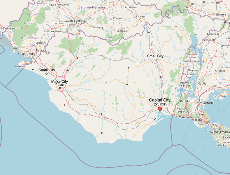
Size of this preview: 789 × 600 pixels. Other resolution: 980 × 745 pixels.
Original file (980 × 745 pixels, file size: 500 KB, MIME type: image/png)
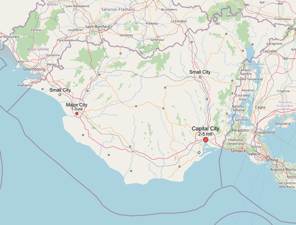
Plan for UL08g
License
| This map is a derivative of the OpenGeofiction base map, which is licensed under the Creative Commons Attribution-NonCommercial-ShareAlike License and is released under the same license. |
File history
Click on a date/time to view the file as it appeared at that time.
| Date/Time | Thumbnail | Dimensions | User | Comment | |
|---|---|---|---|---|---|
| current | 00:08, 1 March 2024 | | 980 × 745 (500 KB) | Geoc3ladus (talk | contribs) |
You cannot overwrite this file.
File usage
There are no pages that use this file.