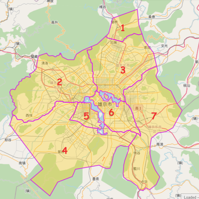
File:Xiongjing Districts.png
Size of this preview: 600 × 600 pixels. Other resolution: 691 × 691 pixels.
Original file (691 × 691 pixels, file size: 551 KB, MIME type: image/png)
Summary
Taken from the following overpass query: https://turbo.ogf.rent-a-planet.com/?Q=(area%5B"admin_level"%3D"4"%5D%5B"name"%3D"雄京"%5D%3B%0A)->.bndarea%3B%0A(node(area.bndarea)%5B"admin_level"%3D"6"%5D(%7B%7Bbbox%7D%7D)%3B%0A%20%20way(area.bndarea)%5B"admin_level"%3D"6"%5D(%7B%7Bbbox%7D%7D)%3B%0A%20relation(area.bndarea)%5B"admin_level"%3D"6"%5D(%7B%7Bbbox%7D%7D)%3B%0A)%3B%0A%0Aout%20body%3B%0A>%3B%0Aout%20skel%20qt%3B&C=22.04237;150.12062;10"
out body; >; out skel qt;
Licensing
| This map is a derivative of the OpenGeofiction base map, which is licensed under the Creative Commons Attribution-NonCommercial-ShareAlike License and is released under the same license. |
File history
Click on a date/time to view the file as it appeared at that time.
| Date/Time | Thumbnail | Dimensions | User | Comment | |
|---|---|---|---|---|---|
| current | 13:26, 1 December 2023 | | 691 × 691 (551 KB) | Zhenkang (talk | contribs) | Updated with labels |
| 13:19, 1 December 2023 | Error creating thumbnail: File missing | 755 × 691 (597 KB) | Zhenkang (talk | contribs) | Taken from [https://turbo.ogf.rent-a-planet.com/?Q=(area%5B"admin_level"%3D"4"%5D%5B"name"%3D"雄京"%5D%3B%0A)->.bndarea%3B%0A(node(area.bndarea)%5B"admin_level"%3D"6"%5D(%7B%7Bbbox%7D%7D)%3B%0A%20%20way(area.bndarea)%5B"admin_level"%3D"6"%5D(%7B%7Bbbox%7D%7D)%3B%0A%20relation(area.bndarea)%5B"admin_level"%3D"6"%5D(%7B%7Bbbox%7D%7D)%3B%0A)%3B%0A%0Aout%20body%3B%0A>%3B%0Aout%20skel%20qt%3B&C=22.04237;150.12062;10" the following overpass query] Category:Bai collaborative documentation |
You cannot overwrite this file.
File usage
The following page uses this file: