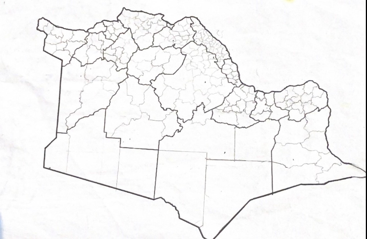
File:Andrar.jpg
Size of this preview: 800 × 522 pixels. Other resolution: 1,268 × 828 pixels.
Original file (1,268 × 828 pixels, file size: 143 KB, MIME type: image/jpeg)
Andrar
License
| This map is a derivative of the OpenGeofiction base map, which is licensed under the Creative Commons Attribution-NonCommercial-ShareAlike License and is released under the same license. |
File history
Click on a date/time to view the file as it appeared at that time.
| Date/Time | Thumbnail | Dimensions | User | Comment | |
|---|---|---|---|---|---|
| current | 00:05, 10 March 2024 | | 1,268 × 828 (143 KB) | Faru (talk | contribs) |
You cannot overwrite this file.
File usage
There are no pages that use this file.