File:TA320 plan.png: Difference between revisions
No edit summary |
(Mie uploaded a new version of File:TA320 plan.png) |
||
| (One intermediate revision by one other user not shown) | |||
| Line 1: | Line 1: | ||
a possible (low detail) map of TA320 | a possible (low detail) map of TA320 | ||
== License == | |||
{{cc-by-sa}} | |||
[[Category:Territory request images]] | |||
Latest revision as of 01:06, 29 March 2024
a possible (low detail) map of TA320
License
| This image is licensed under the Creative Commons Attribution-ShareAlike License |
File history
Click on a date/time to view the file as it appeared at that time.
| Date/Time | Thumbnail | Dimensions | User | Comment | |
|---|---|---|---|---|---|
| current | 01:06, 29 March 2024 | 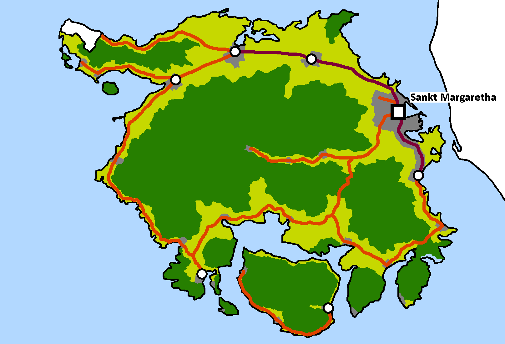 | 1,615 × 1,100 (33 KB) | Mie (talk | contribs) | updated plan |
| 23:02, 5 December 2023 | Error creating thumbnail: File missing | 655 × 655 (15 KB) | Mie (talk | contribs) |
You cannot overwrite this file.
File usage
The following page uses this file: