File:Ambroisie regions.jpg
Jump to navigation
Jump to search


Size of this preview: 540 × 599 pixels. Other resolution: 1,126 × 1,249 pixels.
Original file (1,126 × 1,249 pixels, file size: 238 KB, MIME type: image/jpeg)
Summary
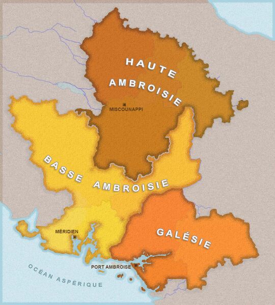
Map originally uploaded by newflanders from own design based on OGF map.
License
| This map is a derivative of the OpenGeofiction base map, which is licensed under the Creative Commons Attribution-NonCommercial-ShareAlike License and is released under the same license. |
File history
Click on a date/time to view the file as it appeared at that time.
| Date/Time | Thumbnail | Dimensions | User | Comment | |
|---|---|---|---|---|---|
| current | 17:32, 4 January 2022 | | 1,126 × 1,249 (238 KB) | Newflanders (talk | contribs) |
You cannot overwrite this file.
File usage
The following page uses this file: