File:Bai P2 provinces map (sectors 78 to 86).png
Jump to navigation
Jump to search

No higher resolution available.
Bai_P2_provinces_map_(sectors_78_to_86).png (556 × 551 pixels, file size: 204 KB, MIME type: image/png)
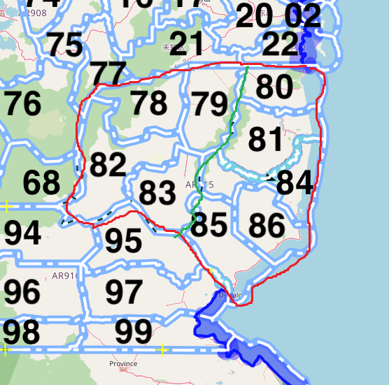
Summary
Derived from [1]
![[1]](https://wiki.opengeofiction.net/index.php/File:Bai_P2_provinces_map.png)
Licensing
| This map is a derivative of the OpenGeofiction base map, which is licensed under the Creative Commons Attribution-NonCommercial-ShareAlike License and is released under the same license. |
File history
Click on a date/time to view the file as it appeared at that time.
| Date/Time | Thumbnail | Dimensions | User | Comment | |
|---|---|---|---|---|---|
| current | 12:04, 18 February 2022 | | 556 × 551 (204 KB) | Zhenkang (talk | contribs) | Derived from [https://wiki.opengeofiction.net/index.php/File:Bai_P2_provinces_map.png] |
You cannot overwrite this file.
File usage
The following page uses this file:
.png&oldid=5161)