File:Counties of Trinity Island.svg
Jump to navigation
Jump to search


Size of this PNG preview of this SVG file: 549 × 600 pixels. Other resolution: 1,875 × 2,048 pixels.
Original file (SVG file, nominally 1,341 × 1,465 pixels, file size: 298 KB)
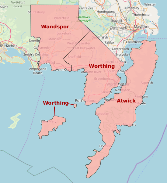
Map of the counties of Hyde
License
| This map is a derivative of the OpenGeofiction base map, which is licensed under the Creative Commons Attribution-NonCommercial-ShareAlike License and is released under the same license. |
File history
Click on a date/time to view the file as it appeared at that time.
| Date/Time | Thumbnail | Dimensions | User | Comment | |
|---|---|---|---|---|---|
| current | 01:46, 4 January 2022 | | 1,341 × 1,465 (298 KB) | Mapping Expert (talk | contribs) | Changing the name from Trinity County to Atwick County. |
| 21:16, 22 October 2021 | Error creating thumbnail: File missing | 1,341 × 1,465 (297 KB) | Mapping Expert (talk | contribs) |
You cannot overwrite this file.
File usage
The following page uses this file: