File:Drull draft.png
Jump to navigation
Jump to search

Size of this preview: 800 × 404 pixels. Other resolution: 1,530 × 773 pixels.
Original file (1,530 × 773 pixels, file size: 382 KB, MIME type: image/png)
Summary
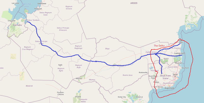
Proposal for river system which will make Drull delta reasonable.
Licensing
| This map is a derivative of the OpenGeofiction base map, which is licensed under the Creative Commons Attribution-NonCommercial-ShareAlike License and is released under the same license. |
File history
Click on a date/time to view the file as it appeared at that time.
| Date/Time | Thumbnail | Dimensions | User | Comment | |
|---|---|---|---|---|---|
| current | 12:32, 15 March 2023 | | 1,530 × 773 (382 KB) | Rustem Pasha (talk | contribs) | Proposal for river system which will make Drull delta reasonable. Category:Suggestion drafts |
You cannot overwrite this file.
File usage
The following page uses this file: