File:FSARailZones 20211221.png
Size of this preview: 800 × 483 pixels. Other resolution: 1,913 × 1,154 pixels.
Original file (1,913 × 1,154 pixels, file size: 203 KB, MIME type: image/png)
Summary
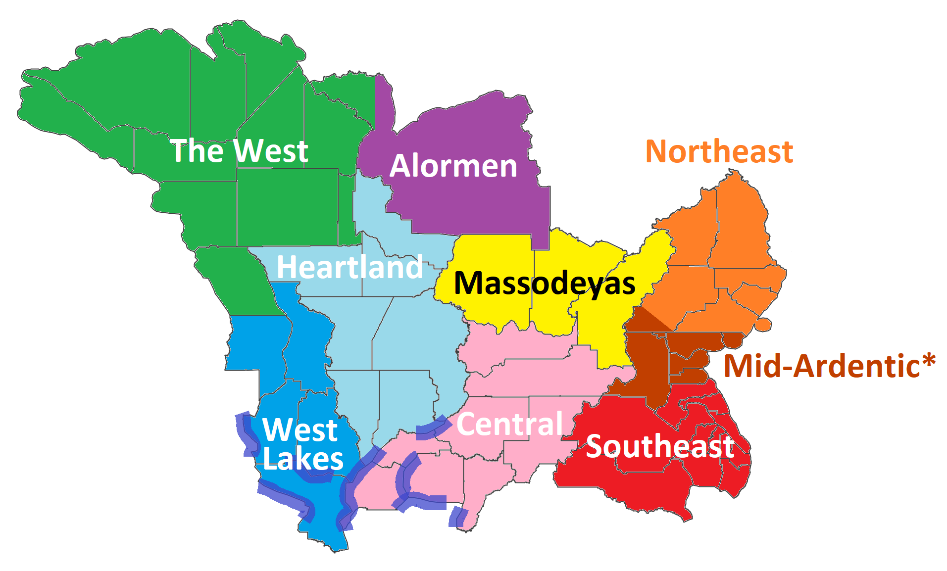
Updated draft of FSA railway zones as of 21 Dec 2021.
Licensing
| This map is a derivative of the OpenGeofiction base map, which is licensed under the Creative Commons Attribution-NonCommercial-ShareAlike License and is released under the same license. |
File history
Click on a date/time to view the file as it appeared at that time.
| Date/Time | Thumbnail | Dimensions | User | Comment | |
|---|---|---|---|---|---|
| current | 19:16, 21 December 2021 | | 1,913 × 1,154 (203 KB) | TheMayor (talk | contribs) | Updated draft of FSA railway zones as of 21 Dec 2021. |
You cannot overwrite this file.
File usage
The following 5 pages use this file: