File:Freedemiaairportstationexplanation.png
Size of this preview: 522 × 599 pixels. Other resolution: 1,746 × 2,004 pixels.
Original file (1,746 × 2,004 pixels, file size: 1.47 MB, MIME type: image/png)
Summary
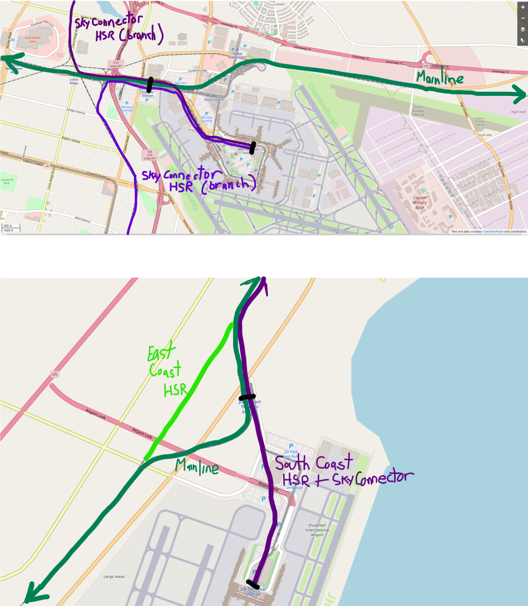
Annotated map screenshots explaining station situation at QBX & JIX for forum
Licensing
| This map is a derivative of the OpenGeofiction base map, which is licensed under the Creative Commons Attribution-NonCommercial-ShareAlike License and is released under the same license. |
File history
Click on a date/time to view the file as it appeared at that time.
| Date/Time | Thumbnail | Dimensions | User | Comment | |
|---|---|---|---|---|---|
| current | 04:13, 29 December 2021 | | 1,746 × 2,004 (1.47 MB) | Ernestpkirby (talk | contribs) | Annotated map screenshots explaining station situation at QBX & JIX for forum Category:Freedemia |
You cannot overwrite this file.
File usage
The following page uses this file: