File:Antarephia-Coalition-Map.png
Size of this preview: 800 × 485 pixels. Other resolution: 3,000 × 1,817 pixels.
Original file (3,000 × 1,817 pixels, file size: 1.02 MB, MIME type: image/png)
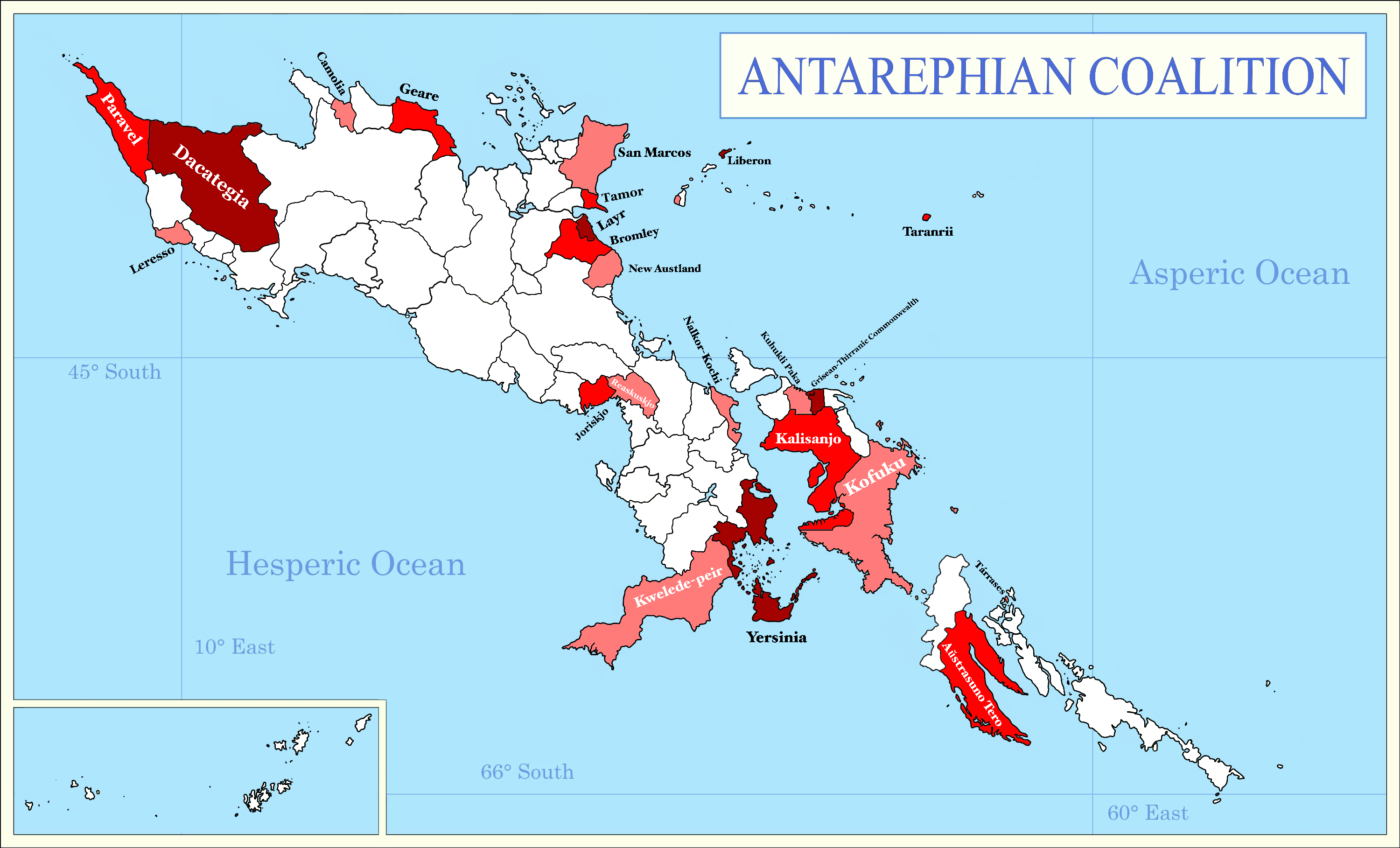
I made this for the coalition page
License
| This image is licensed under the Creative Commons Attribution License |
File history
Click on a date/time to view the file as it appeared at that time.
| Date/Time | Thumbnail | Dimensions | User | Comment | |
|---|---|---|---|---|---|
| current | 00:06, 11 January 2023 | | 3,000 × 1,817 (1.02 MB) | Huachachi (talk | contribs) | |
| 12:15, 24 November 2022 | Error creating thumbnail: File missing | 3,000 × 1,817 (1.02 MB) | Huachachi (talk | contribs) | New updated version | |
| 15:45, 10 January 2022 | Error creating thumbnail: File missing | 3,000 × 1,817 (1,007 KB) | Huachachi (talk | contribs) | New Version | |
| 20:19, 6 January 2022 | Error creating thumbnail: File missing | 3,000 × 1,817 (1,004 KB) | Huachachi (talk | contribs) |
You cannot overwrite this file.
File usage
The following page uses this file: