File:Antarephia Cultural Sectors.png
Jump to navigation
Jump to search
Size of this preview: 800 × 485 pixels. Other resolution: 979 × 593 pixels.
Original file (979 × 593 pixels, file size: 95 KB, MIME type: image/png)
Summary
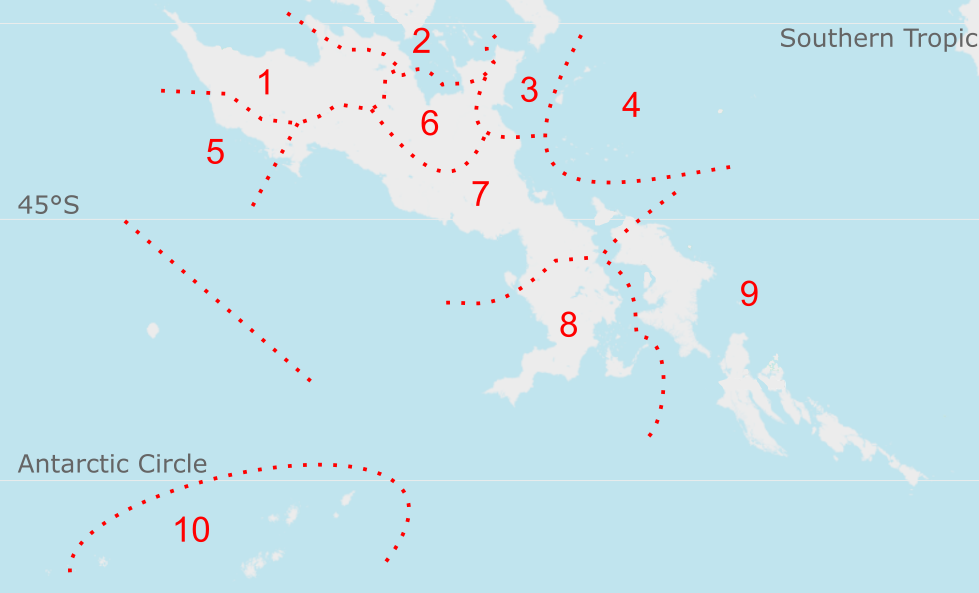
Overview of Antarephia: cultural sectors based on climactic and cultural similarities. Regions with less past and current activity have less details.
Licensing
| This image is licensed under the Creative Commons Attribution-NonCommercial-ShareAlike License |
File history
Click on a date/time to view the file as it appeared at that time.
| Date/Time | Thumbnail | Dimensions | User | Comment | |
|---|---|---|---|---|---|
| current | 18:28, 5 July 2023 | | 979 × 593 (95 KB) | Aiki (talk | contribs) | |
| 20:23, 9 June 2022 | Error creating thumbnail: File missing | 1,165 × 559 (115 KB) | Aiki (talk | contribs) | Adapting map to latest large continental updates | |
| 18:02, 26 April 2022 | Error creating thumbnail: File missing | 1,165 × 559 (116 KB) | Aiki (talk | contribs) | Removed additional text | |
| 16:57, 21 November 2021 | Error creating thumbnail: File missing | 1,556 × 559 (303 KB) | Aiki (talk | contribs) | == Summary == Overview of Antarephia: cultural sectors based on climactic and cultural similarities. Regions with less past and current activity have less details. Category:Administrative images == Licensing == {{Cc-by-nc-sa}} |
You cannot overwrite this file.
File usage
The following page uses this file: