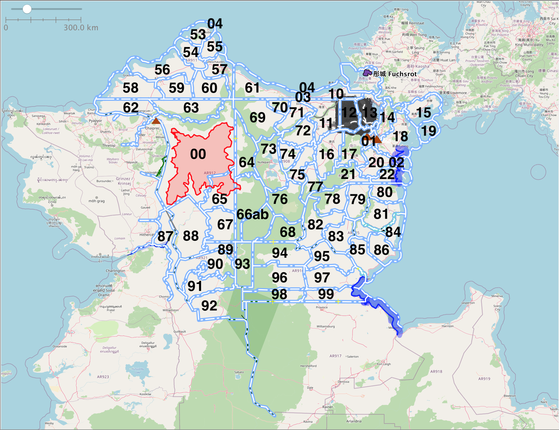
File:Bai P2 provinces map.png
Jump to navigation
Jump to search
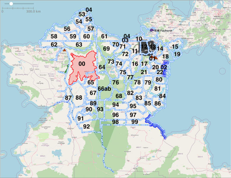
Size of this preview: 779 × 600 pixels. Other resolution: 1,920 × 1,478 pixels.
Original file (1,920 × 1,478 pixels, file size: 1.5 MB, MIME type: image/png)
Summary
Province map of Phase II Bai Empire. Own work.
Licensing
| This map is a derivative of the OpenGeofiction base map, which is licensed under the Creative Commons Attribution-NonCommercial-ShareAlike License and is released under the same license. |
File history
Click on a date/time to view the file as it appeared at that time.
| Date/Time | Thumbnail | Dimensions | User | Comment | |
|---|---|---|---|---|---|
| current | 07:33, 7 November 2021 | | 1,920 × 1,478 (1.5 MB) | The Cute Chick (talk | contribs) | Province map of Phase II Bai Empire. Own work. Category:Bai collaborative documentation |
You cannot overwrite this file.
File usage
The following page uses this file: