File:Castellan orography base.png: Difference between revisions
(Proposal for the Castellán coastline, by user Martinawa) |
No edit summary |
||
| Line 4: | Line 4: | ||
== Licensing == | == Licensing == | ||
{{Cc-ogf-map}} | {{Cc-ogf-map}} | ||
[[Category:Castellan collaborative documentation]] | |||
Latest revision as of 17:43, 9 November 2021
Summary
Proposal for the Castellán coastline, by user Martinawa
Licensing
| This map is a derivative of the OpenGeofiction base map, which is licensed under the Creative Commons Attribution-NonCommercial-ShareAlike License and is released under the same license. |
File history
Click on a date/time to view the file as it appeared at that time.
| Date/Time | Thumbnail | Dimensions | User | Comment | |
|---|---|---|---|---|---|
| current | 17:43, 9 November 2021 | 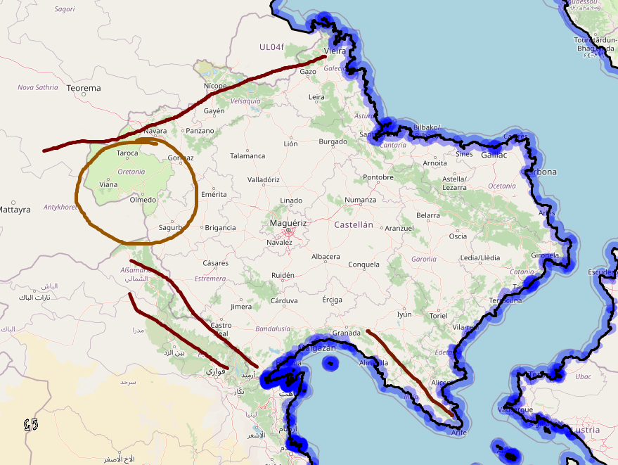 | 879 × 661 (331 KB) | Martinawa (talk | contribs) | Proposal for the Castellán coastline, by user Martinawa |
You cannot overwrite this file.
File usage
The following page uses this file: