Weekly site maintenance is scheduled Thursday 04:00–06:00 UTC.
Editing will not be possible during this time, and there may be other brief disruptions. (additional info)
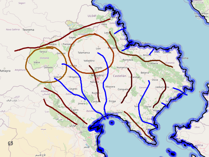
File:Castellan orography perpendicular.png
Jump to navigation
Jump to search

Size of this preview: 797 × 599 pixels. Other resolution: 879 × 661 pixels.
Original file (879 × 661 pixels, file size: 340 KB, MIME type: image/png)
Summary
Proposal for the Castellán coastline, by user Martinawa
Licensing
| This map is a derivative of the OpenGeofiction base map, which is licensed under the Creative Commons Attribution-NonCommercial-ShareAlike License and is released under the same license. |
File history
Click on a date/time to view the file as it appeared at that time.
| Date/Time | Thumbnail | Dimensions | User | Comment | |
|---|---|---|---|---|---|
| current | 17:45, 9 November 2021 | | 879 × 661 (340 KB) | Martinawa (talk | contribs) | Proposal for the Castellán coastline, by user Martinawa Category:Castellan collaborative documentation |
You cannot overwrite this file.
File usage
The following page uses this file: