File:FreedemiaStateMap.png
Size of this preview: 800 × 519 pixels. Other resolution: 1,303 × 846 pixels.
Original file (1,303 × 846 pixels, file size: 299 KB, MIME type: image/png)
Summary
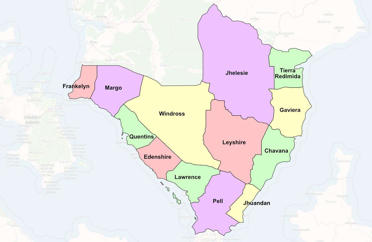
Freedemia's 13 states. My own work in Affinity Designer overlaid over the OpenGeofiction Map.
| This image is licensed under the Creative Commons Attribution-NonCommercial-ShareAlike License |
Licensing
| This image is licensed under the Creative Commons Attribution-NonCommercial-ShareAlike License |
File history
Click on a date/time to view the file as it appeared at that time.
| Date/Time | Thumbnail | Dimensions | User | Comment | |
|---|---|---|---|---|---|
| current | 20:16, 18 October 2021 | | 1,303 × 846 (299 KB) | Ernestpkirby (talk | contribs) | Freedemia's 13 states. My own work in Affinity Designer overlaid over the OpenGeofiction Map. {{Cc-by-nc-sa}} Category:Freedemia |
You cannot overwrite this file.
File usage
The following page uses this file: