File:L-Reglè RouteMap.png
Jump to navigation
Jump to search

Size of this preview: 800 × 322 pixels. Other resolution: 2,455 × 989 pixels.
Original file (2,455 × 989 pixels, file size: 376 KB, MIME type: image/png)
Summary
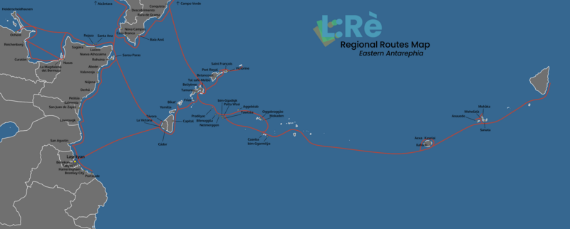
Route map of L:Reglè ferry company, in Eastern Antarephia. Based on an adapted and redetailed version of Timboh's world map and a screenshot of the OGF regular render map.
Licensing
| This image is licensed under the Creative Commons Attribution-NonCommercial-ShareAlike License |
File history
Click on a date/time to view the file as it appeared at that time.
| Date/Time | Thumbnail | Dimensions | User | Comment | |
|---|---|---|---|---|---|
| current | 12:25, 5 December 2021 | 2,455 × 989 (376 KB) | Intergan (talk | contribs) | Route map of L:Reglè ferry company, in Eastern Antarephia. Based on an adapted and redetailed version of Timboh's world map and a screenshot of the OGF regular render map. |
You cannot overwrite this file.
File usage
The following page uses this file: