File:Layr Flight Map.png: Difference between revisions
Jump to navigation
Jump to search
Rustem Pasha (talk | contribs) No edit summary |
(Intergan uploaded a new version of File:Layr Flight Map.png) |
(No difference)
| |
Revision as of 20:28, 28 November 2021
Summary
Flight Map for the national carrier airline of Layr. Using a modified map made by Timboh.
Licensing
| This image is licensed under the Creative Commons Attribution-NonCommercial-ShareAlike License |
File history
Click on a date/time to view the file as it appeared at that time.
| Date/Time | Thumbnail | Dimensions | User | Comment | |
|---|---|---|---|---|---|
| current | 21:43, 28 November 2021 | 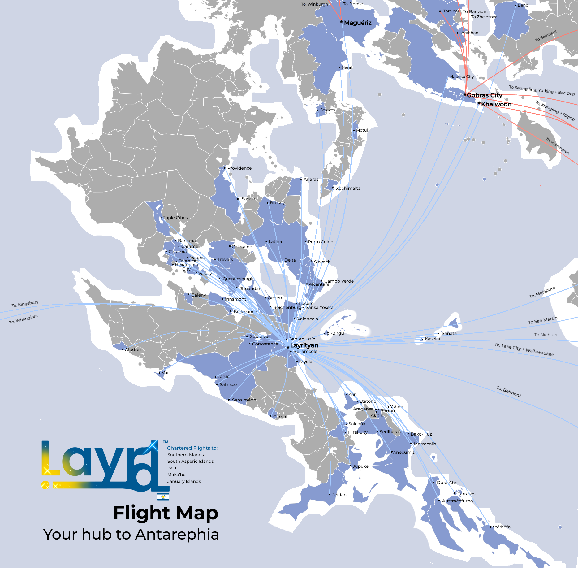 | 1,868 × 1,835 (835 KB) | Intergan (talk | contribs) | Triple Cities, Iscu |
| 20:28, 28 November 2021 | Error creating thumbnail: File missing | 1,868 × 1,835 (834 KB) | Intergan (talk | contribs) | Updated | |
| 11:33, 18 October 2021 | Error creating thumbnail: File missing | 1,868 × 1,835 (817 KB) | Intergan (talk | contribs) | Flight Map for the national carrier airline of Layr. Using a modified map made by Timboh. |
You cannot overwrite this file.
File usage
The following page uses this file: