File:Tarephia4Regions.png: Difference between revisions
Jump to navigation
Jump to search
(Map of Tarephia's admin_level=2 relations; with the four regions of the continent coloured seperately. Category:Administrative images) |
(Taka uploaded a new version of File:Tarephia4Regions.png) |
(No difference)
| |
Revision as of 16:05, 8 March 2023
Summary
Map of Tarephia's admin_level=2 relations; with the four regions of the continent coloured seperately.
Licensing
| This map is a derivative of the OpenGeofiction base map, which is licensed under the Creative Commons Attribution-NonCommercial-ShareAlike License and is released under the same license. |
File history
Click on a date/time to view the file as it appeared at that time.
| Date/Time | Thumbnail | Dimensions | User | Comment | |
|---|---|---|---|---|---|
| current | 16:05, 8 March 2023 | 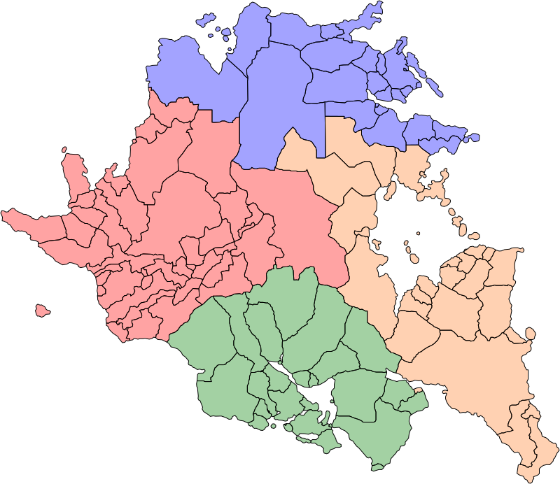 | 800 × 692 (166 KB) | Taka (talk | contribs) | Recolour 1 territory. |
| 16:02, 8 March 2023 | Error creating thumbnail: File missing | 800 × 692 (166 KB) | Taka (talk | contribs) | Map of Tarephia's admin_level=2 relations; with the four regions of the continent coloured seperately. Category:Administrative images |
You cannot overwrite this file.
File usage
The following page uses this file: