File:Vordum Sea Aiki Option 1.svg

Size of this PNG preview of this SVG file: 800 × 405 pixels. Other resolution: 2,560 × 1,295 pixels.
Original file (SVG file, nominally 1,208 × 611 pixels, file size: 319 KB)
Summary
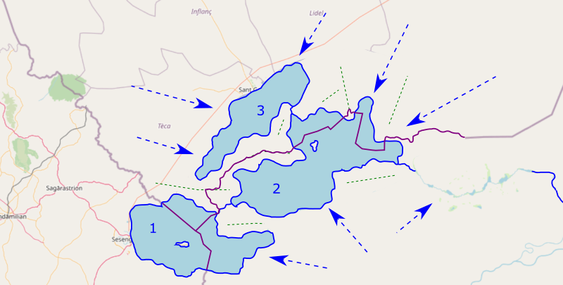
Map for Forum topic: Green lines are for ridges and blue arrows for water streams general direction.
Licensing
| This image is licensed under the Creative Commons Attribution-NonCommercial-ShareAlike License |
File history
Click on a date/time to view the file as it appeared at that time.
| Date/Time | Thumbnail | Dimensions | User | Comment | |
|---|---|---|---|---|---|
| current | 20:36, 14 January 2022 | | 1,208 × 611 (319 KB) | Aiki (talk | contribs) | Map for Forum topic. Category:Regional maps |
You cannot overwrite this file.
File usage
The following page uses this file: