Kuhukli Paka
| [[File:|150px|Flag of Kuhukli Paka]] | Kuhukli Paka |
Loading map... When parsing the passed parameters had the following errors:
unable to parse parameter "center" value is "," |
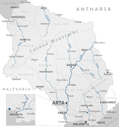
Kuhukli Paka (/kuhukli paka/, pronounced: koo-hoo-klee paw-ka; Huipuia Oe: Kuhukli Paka, pronounced:[kuhukli paka]), is a stateless region in northern Harda. It is bordered by Grisean-Thirranic Commonwealth to the east, Kalisänjo to the south, and Osaseré to the west. The largest city is Saolo located on the eastern border of the country.
