File:Tircambry-ct-ystleig-flag.png and Tircambry: Difference between pages
(Created by Pawl using Inkscape. Category:Tircambry Category:Flags) |
No edit summary |
||
| Line 1: | Line 1: | ||
== | {{Infocard | ||
| name = Kingdom of Tircambry | |||
== | | flag = Tircambry-national-flag.png | ||
| symbol = Tircambry-royal-arms.png | |||
| symbol_caption = Coat of arms | |||
| native_name = Teyrnas Tircambry | |||
| native_language = Cambric | |||
| capital = Caerarthen | |||
| population = 5,893,462 | |||
| population_year = 2021 | |||
| motto = Unedig am Byth ''(United forever)'' | |||
| anthem = | |||
| latitude = 57.899 | |||
| longitude = 41.963 | |||
| zoom = 6 | |||
| relation = 22825 | |||
| intro = '''Tircambry''', officially the '''Kingdom of Tircambry''' (''Teyrnas Tircambry''), is a country located in northwestern [[Uletha]] on the Dihobarth Peninsula in the Vinn Sea. It has separate coasts to the northeast and southwest, and borders the countries of Ingerland to the west, [[Lentia]] to the east and Kalm to the southwest. Tircambry is a constitutional parliamentary democracy with a non-executive King and a bicameral Parliament, to which the government, led by the Prime Minister, is accountable. | |||
The Dihobarth Peninsula has been occupied by Caeltic peoples for thousands of years. In the ?th century the western half was conquered by Ingerland while the four principalities in the east united to resist Ingerish incursions and preserve their independence. | |||
}} | |||
===Administrative Divisions=== | |||
Tircambry is divided into fourteen cantrefs ('''Cambric''' ''singular'': ''cantref'' ('''plural''': ''cantrefi''). | |||
[[File:Tircambry-cantrefi-map.png|500px|right|thumb|''Cantrefs of Tircambry'']] | |||
{| class="wikitable" | |||
|- | |||
|+ Cantrefs of Tircambry | |||
|- | |||
!Flag | |||
!Name | |||
!Area km2 | |||
!Population | |||
!Capital | |||
|- | |||
|[[File:Tircambry-ct-arthenion-flag.png|alt=|80px]] | |||
|Arthenion | |||
|2346.65 | |||
|657,062 | |||
|Trefaegiau | |||
|- | |||
|[[File:Tircambry-ct-caerarthen-flag.png|alt=|80px]] | |||
|Caerarthen | |||
|170.85 | |||
|427,125 | |||
|Caerarthen | |||
|- | |||
|[[File:Tircambry-ct-calenwy-flag.png|alt=|80px]] | |||
|Calenwy | |||
|3,555.24 | |||
|497,734 | |||
|Rhydlewy | |||
|- | |||
|[[File:Tircambry-ct-cwmaur-flag.png|alt=|80px]] | |||
|Cwmaur | |||
|3,853.45 | |||
|539,483 | |||
|Pontarlein | |||
|- | |||
|[[File:Tircambry-ct-cwmdraenig-flag.png|alt=|80px]] | |||
|Cwmdraenig | |||
|2,506.80 | |||
|421,142 | |||
|Abercefny | |||
|- | |||
|[[File:Tircambry-ct-cymeiriog-flag.png|alt=|80px]] | |||
|Cymeiriog | |||
|2,119.61 | |||
|309,463 | |||
|Abercilfi | |||
|- | |||
|[[File:Tircambry-ct-donllanion-flag.png|alt=|80px]] | |||
|Donllanion | |||
|3,862.89 | |||
|540,805 | |||
|Pontarairch | |||
|- | |||
|[[File:Tircambry-ct-dyfiais-flag.png|alt=|80px]] | |||
|Dyfiais | |||
|2,401.27 | |||
|403,413 | |||
|Trefelly | |||
|- | |||
|[[File:Tircambry-ct-farianydd-flag.png|alt=|80px]] | |||
|Farianydd | |||
|3,032.95 | |||
|594,458 | |||
|Trefeynon | |||
|- | |||
|[[File:Tircambry-ct-pendwyrain-flag.png|alt=|80px]] | |||
|Pendwyrain | |||
|3,264.89 | |||
|421,171 | |||
|Treddilew | |||
|- | |||
|[[File:Tircambry-ct-rhaulor-flag.png|alt=|80px]] | |||
|Rhaulor | |||
|2,800.86 | |||
|266,082 | |||
|Toncraig | |||
|- | |||
|[[File:Tircambry-ct-syfolion-flag.png|alt=|80px]] | |||
|Syfolion | |||
|1,341.39 | |||
|187,795 | |||
|Glynllwynog | |||
|- | |||
|[[File:Tircambry-ct-tarienydd-flag.png|alt=|80px]] | |||
|Tarienydd | |||
|2,358.62 | |||
|330,207 | |||
|Dolgeidion | |||
|- | |||
|[[File:Tircambry-ct-ystleig-flag.png|alt=|80px]] | |||
|Ystleig | |||
|2,656.45 | |||
|297,522 | |||
|Caerrhydian | |||
|} | |||
[[Category:Tircambry]] | |||
[[Category:Countries in West Uletha]] | |||
Revision as of 13:10, 8 July 2023

|
Kingdom of Tircambry  Teyrnas Tircambry (Cambric) Capital: Caerarthen
Population: 5,893,462 (2021) Motto: Unedig am Byth (United forever) |
Loading map... |
Tircambry, officially the Kingdom of Tircambry (Teyrnas Tircambry), is a country located in northwestern Uletha on the Dihobarth Peninsula in the Vinn Sea. It has separate coasts to the northeast and southwest, and borders the countries of Ingerland to the west, Lentia to the east and Kalm to the southwest. Tircambry is a constitutional parliamentary democracy with a non-executive King and a bicameral Parliament, to which the government, led by the Prime Minister, is accountable.
The Dihobarth Peninsula has been occupied by Caeltic peoples for thousands of years. In the ?th century the western half was conquered by Ingerland while the four principalities in the east united to resist Ingerish incursions and preserve their independence.
Administrative Divisions
Tircambry is divided into fourteen cantrefs (Cambric singular: cantref (plural: cantrefi).

| Flag | Name | Area km2 | Population | Capital |
|---|---|---|---|---|
| Arthenion | 2346.65 | 657,062 | Trefaegiau | |
| Caerarthen | 170.85 | 427,125 | Caerarthen | |
| Calenwy | 3,555.24 | 497,734 | Rhydlewy | |
| Cwmaur | 3,853.45 | 539,483 | Pontarlein | |
| Cwmdraenig | 2,506.80 | 421,142 | Abercefny | |
| Cymeiriog | 2,119.61 | 309,463 | Abercilfi | |
| Donllanion | 3,862.89 | 540,805 | Pontarairch | |
| Dyfiais | 2,401.27 | 403,413 | Trefelly | |
| Farianydd | 3,032.95 | 594,458 | Trefeynon | |
| Pendwyrain | 3,264.89 | 421,171 | Treddilew | |
| Rhaulor | 2,800.86 | 266,082 | Toncraig | |
| Syfolion | 1,341.39 | 187,795 | Glynllwynog | |
| Tarienydd | 2,358.62 | 330,207 | Dolgeidion | |
| Ystleig | 2,656.45 | 297,522 | Caerrhydian |
File history
Click on a date/time to view the file as it appeared at that time.
| Date/Time | Thumbnail | Dimensions | User | Comment | |
|---|---|---|---|---|---|
| current | 13:05, 8 July 2023 | 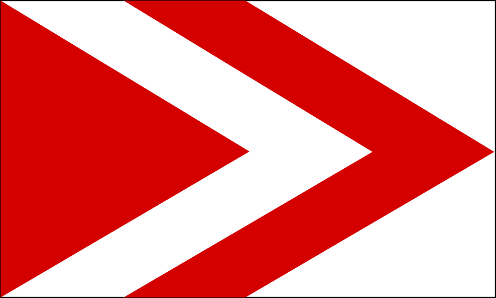 | 1,000 × 600 (28 KB) | Pawl (talk | contribs) | Created by Pawl using Inkscape. Category:Tircambry Category:Flags |
You cannot overwrite this file.
File usage
The following page uses this file: