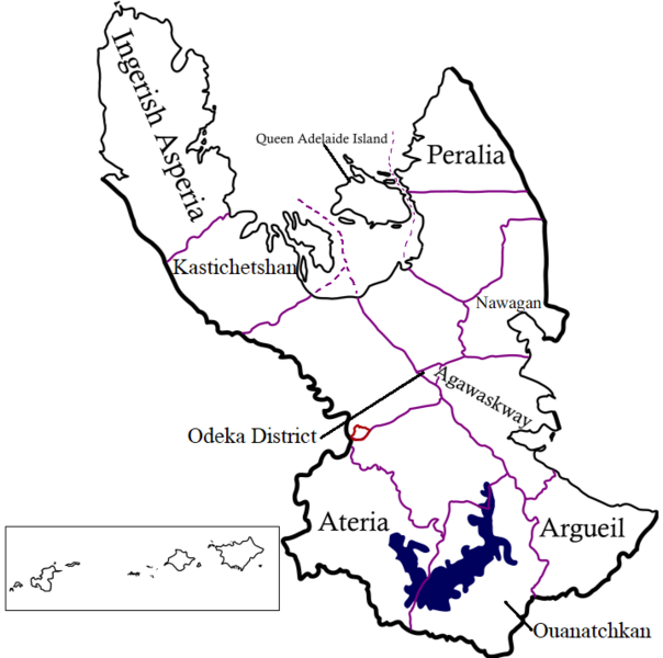
File:Deodeca OutlinesofProvinces.png
Jump to navigation
Jump to search

Size of this preview: 604 × 600 pixels. Other resolution: 718 × 713 pixels.
Original file (718 × 713 pixels, file size: 131 KB, MIME type: image/png)
Summary
Self-made using Inkscape.
Licensing
| This map is a derivative of the OpenGeofiction base map, which is licensed under the Creative Commons Attribution-NonCommercial-ShareAlike License and is released under the same license. |
File history
Click on a date/time to view the file as it appeared at that time.
| Date/Time | Thumbnail | Dimensions | User | Comment | |
|---|---|---|---|---|---|
| current | 01:19, 19 March 2023 | | 718 × 713 (131 KB) | Arlo (talk | contribs) | Added QAI sea border |
| 03:27, 9 March 2023 | Error creating thumbnail: File missing | 718 × 713 (131 KB) | Arlo (talk | contribs) | Added Nawagan | |
| 02:40, 4 March 2023 | Error creating thumbnail: File missing | 713 × 713 (129 KB) | Arlo (talk | contribs) | Updated to reflect new territory names, adding small preview of islands | |
| 15:51, 12 August 2022 | Error creating thumbnail: File missing | 609 × 713 (98 KB) | Intergan (talk | contribs) | Changed misspelling of Argueil | |
| 05:08, 28 July 2022 | Error creating thumbnail: File missing | 609 × 713 (74 KB) | Arlo (talk | contribs) | Self-made using Inkscape, text added. | |
| 04:39, 28 July 2022 | Error creating thumbnail: File missing | 609 × 713 (61 KB) | Arlo (talk | contribs) | Self-made using Inkscape. |
You cannot overwrite this file.
File usage
There are no pages that use this file.