File:Ingerland-road-zones-proposal1.png: Difference between revisions
Original work by Pawl using OGF data, JOSM, Maperitive & Inkscape. Category:Ingerland collaborative documentation |
mNo edit summary |
||
| Line 2: | Line 2: | ||
Original work by [[User:Pawl|Pawl]] using OGF data, JOSM, Maperitive & Inkscape. | Original work by [[User:Pawl|Pawl]] using OGF data, JOSM, Maperitive & Inkscape. | ||
[[Category: | [[Category:Ingrea collaborative documentation]] | ||
== Licensing == | == Licensing == | ||
{{Cc-by-nc-sa}} | {{Cc-by-nc-sa}} | ||
Latest revision as of 22:03, 2 June 2024
Summary
Original work by Pawl using OGF data, JOSM, Maperitive & Inkscape.
Licensing
| Creative Commons License AttributionNonCommercialShareAlike |
This image is licensed under the Creative Commons Attribution-NonCommercial-ShareAlike License |
File history
Click on a date/time to view the file as it appeared at that time.
| Date/Time | Thumbnail | Dimensions | User | Comment | |
|---|---|---|---|---|---|
| current | 13:18, 11 May 2024 | 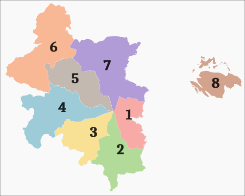 | 500 × 400 (36 KB) | Pawl (talk | contribs) | Original work by Pawl using OGF data, JOSM, Maperitive & Inkscape. Category:Ingerland collaborative documentation |
You cannot overwrite this file.
File usage
The following page uses this file: