File:Trinity Island Commuter Rail.png
Size of this preview: 800 × 587 pixels. Other resolution: 1,198 × 879 pixels.
Original file (1,198 × 879 pixels, file size: 141 KB, MIME type: image/png)
Summary
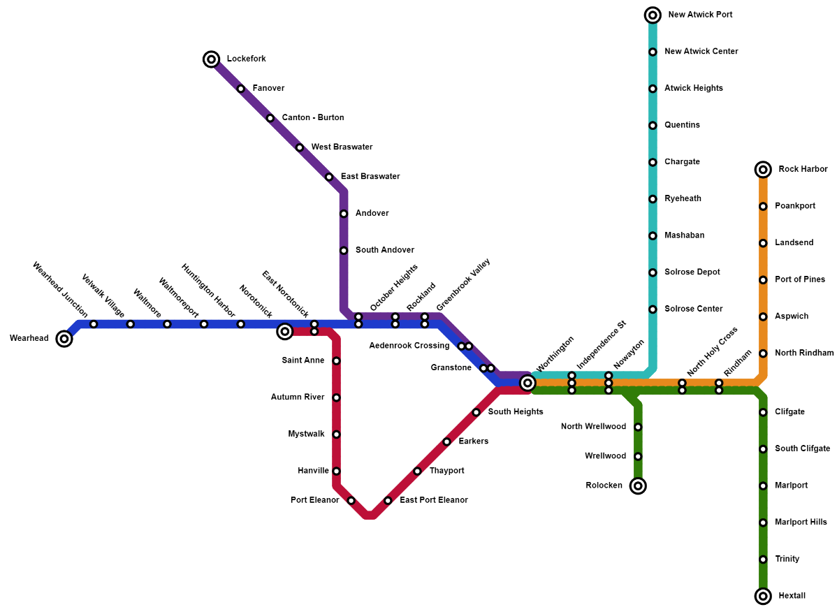
Map of the Trinity Island Commuter Rail, created by Zytik while developing the Trinity Island railway network in the map.
Licensing
| This image is licensed under the Creative Commons Attribution License |
File history
Click on a date/time to view the file as it appeared at that time.
| Date/Time | Thumbnail | Dimensions | User | Comment | |
|---|---|---|---|---|---|
| current | 02:14, 5 January 2022 | | 1,198 × 879 (141 KB) | Mapping Expert (talk | contribs) | Map of the Trinity Island Commuter Rail, created by Zytik while developing the Trinity Island railway network in the map. Category:Trinity Island Category:Railway |
You cannot overwrite this file.
File usage
The following page uses this file: