File:Saif Al-Dhahabi Island Topography.jpg
Size of this preview: 800 × 427 pixels. Other resolutions: 2,560 × 1,366 pixels | 4,025 × 2,147 pixels.
Original file (4,025 × 2,147 pixels, file size: 749 KB, MIME type: image/jpeg)
Summary
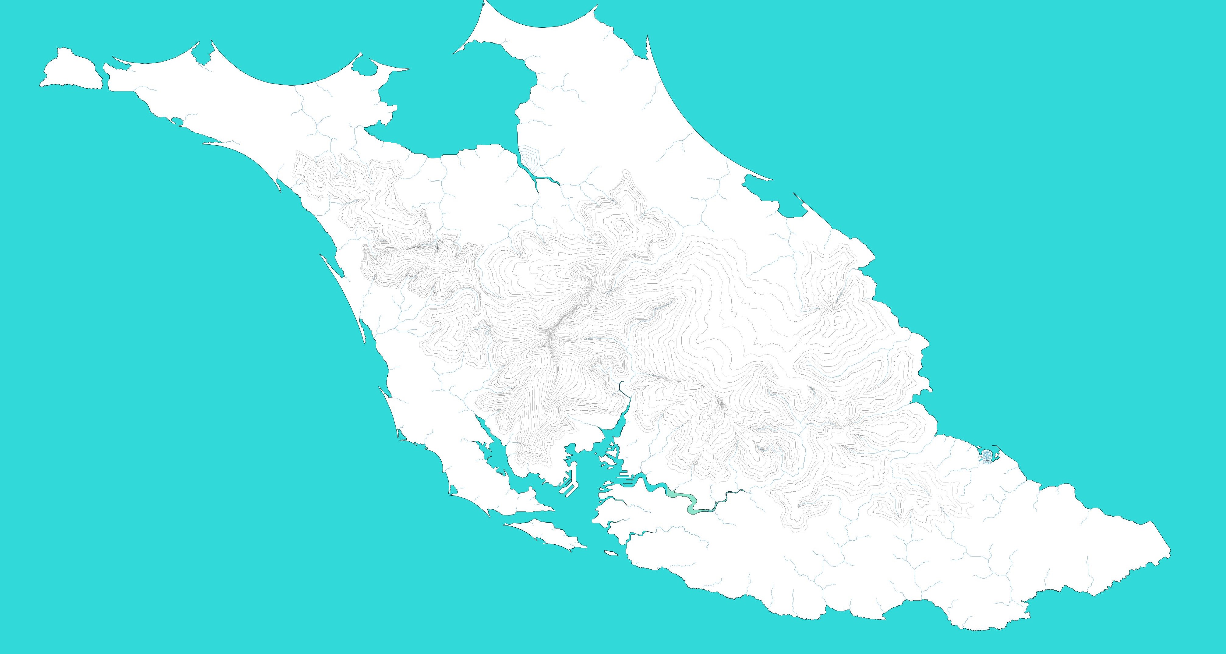
Topographic map of Saif Al-Dhahabi island in Almahrus. Original content by User
Licensing
| This map is a derivative of the OpenGeofiction base map, which is licensed under the Creative Commons Attribution-NonCommercial-ShareAlike License and is released under the same license. |
File history
Click on a date/time to view the file as it appeared at that time.
| Date/Time | Thumbnail | Dimensions | User | Comment | |
|---|---|---|---|---|---|
| current | 14:53, 31 December 2025 | | 4,025 × 2,147 (749 KB) | UN1TY (talk | contribs) | Topographic map of Saif Al-Dhahabi island in Almahrus. Original content by User |
You cannot overwrite this file.
File usage
There are no pages that use this file.