File:TA320 plan.png

Size of this preview: 800 × 545 pixels. Other resolution: 1,615 × 1,100 pixels.
Original file (1,615 × 1,100 pixels, file size: 33 KB, MIME type: image/png)
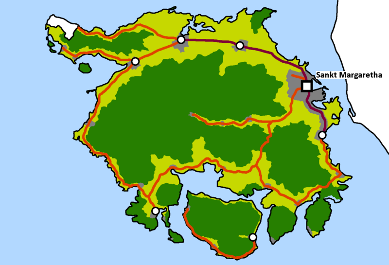
a possible (low detail) map of TA320
License
| This image is licensed under the Creative Commons Attribution-ShareAlike License |
File history
Click on a date/time to view the file as it appeared at that time.
| Date/Time | Thumbnail | Dimensions | User | Comment | |
|---|---|---|---|---|---|
| current | 01:06, 29 March 2024 | | 1,615 × 1,100 (33 KB) | Mie (talk | contribs) | updated plan |
| 23:02, 5 December 2023 | Error creating thumbnail: File missing | 655 × 655 (15 KB) | Mie (talk | contribs) |
You cannot overwrite this file.
File usage
The following page uses this file: