File:1408.png: Difference between revisions
No edit summary |
mNo edit summary |
||
| (One intermediate revision by one other user not shown) | |||
| Line 1: | Line 1: | ||
Map of the Bond in 1408 | Map of the Bond in 1408 | ||
==Licensing== | |||
{{cc-ogf-map}} | |||
[[Category:Atresia]] | |||
[[Category:Historical maps]] | |||
Latest revision as of 21:15, 19 March 2025
Map of the Bond in 1408
Licensing
| Error creating thumbnail: Error creating thumbnail: NonCommercialShareAlike | This map is a derivative of the OpenGeofiction base map, which is licensed under the Creative Commons Attribution-NonCommercial-ShareAlike License and is released under the same license. |
File history
Click on a date/time to view the file as it appeared at that time.
| Date/Time | Thumbnail | Dimensions | User | Comment | |
|---|---|---|---|---|---|
| current | 08:34, 22 January 2025 | 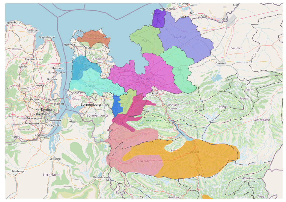 | 1,169 × 826 (1.15 MB) | Fayaan (talk | contribs) |
You cannot overwrite this file.
File usage
The following page uses this file: