File:FQ Canal.png: Difference between revisions
Bixelkoven (talk | contribs) No edit summary |
mNo edit summary |
||
| Line 1: | Line 1: | ||
== Summary == | == Summary == | ||
Self-made. | Self-made from OGF map. | ||
[[Category:Valonne collaborative documentation]] | [[Category:Valonne collaborative documentation]] | ||
== Licensing == | == Licensing == | ||
{{Cc-ogf-map}} | {{Cc-ogf-map}} | ||
Latest revision as of 00:06, 30 September 2024
Summary
Self-made from OGF map.
Licensing
| This map is a derivative of the OpenGeofiction base map, which is licensed under the Creative Commons Attribution-NonCommercial-ShareAlike License and is released under the same license. |
File history
Click on a date/time to view the file as it appeared at that time.
| Date/Time | Thumbnail | Dimensions | User | Comment | |
|---|---|---|---|---|---|
| current | 11:24, 20 July 2024 | 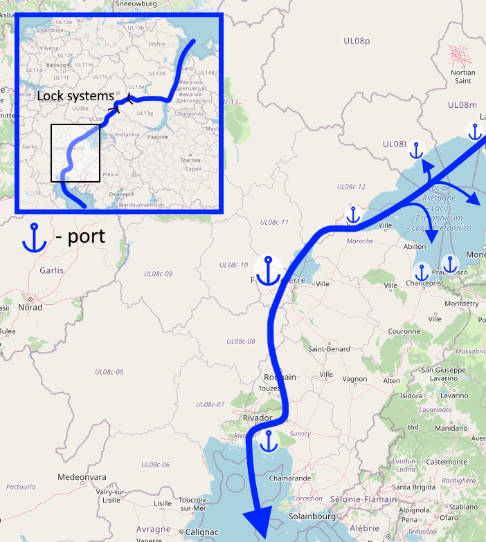 | 702 × 784 (397 KB) | Bixelkoven (talk | contribs) | Self-made. Category:Franqueterre Category:Franqueterre collaborative documentation |
You cannot overwrite this file.
File usage
The following page uses this file: