File:Passitania Counties.png
Size of this preview: 800 × 276 pixels. Other resolution: 2,484 × 856 pixels.
Original file (2,484 × 856 pixels, file size: 85 KB, MIME type: image/png)
Summary
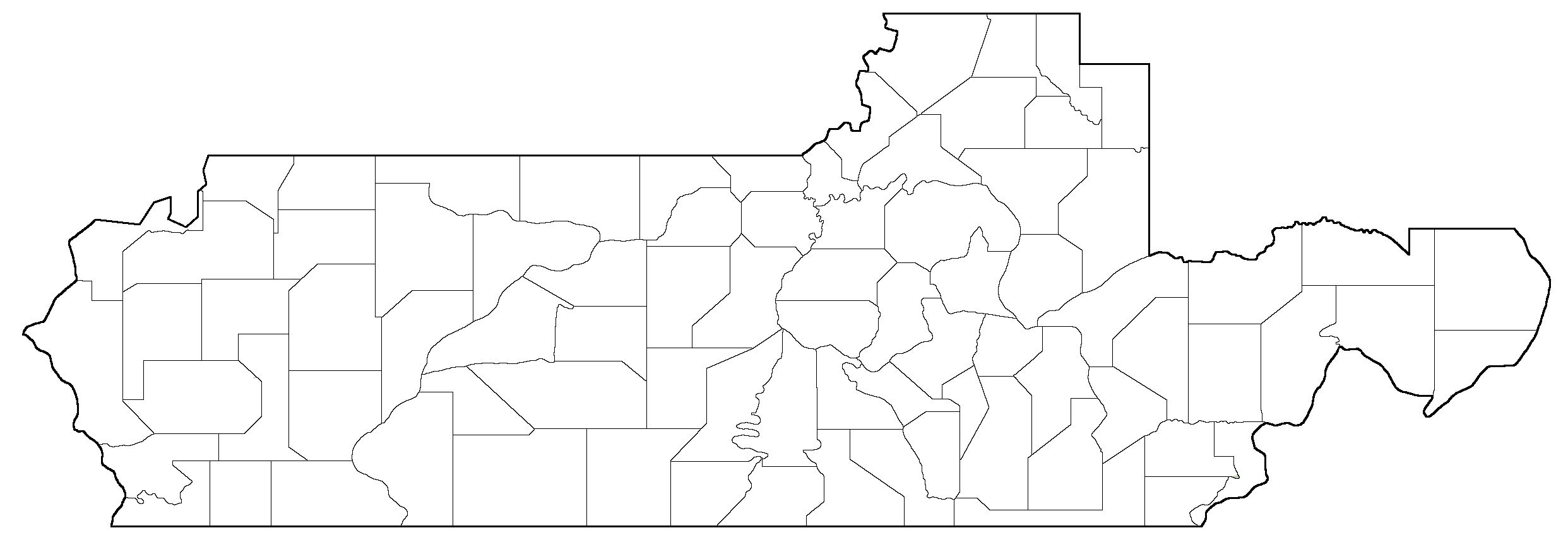
Map of all of the counties in Passitania
File history
Click on a date/time to view the file as it appeared at that time.
| Date/Time | Thumbnail | Dimensions | User | Comment | |
|---|---|---|---|---|---|
| current | 06:34, 13 May 2025 | 2,484 × 856 (85 KB) | PoisonDog522 (talk | contribs) | Map of all of the counties in Passitania |
You cannot overwrite this file.
File usage
The following page uses this file: