File:Megucar first sketch.png
Size of this preview: 800 × 551 pixels. Other resolution: 1,308 × 901 pixels.
Original file (1,308 × 901 pixels, file size: 137 KB, MIME type: image/png)
Summary
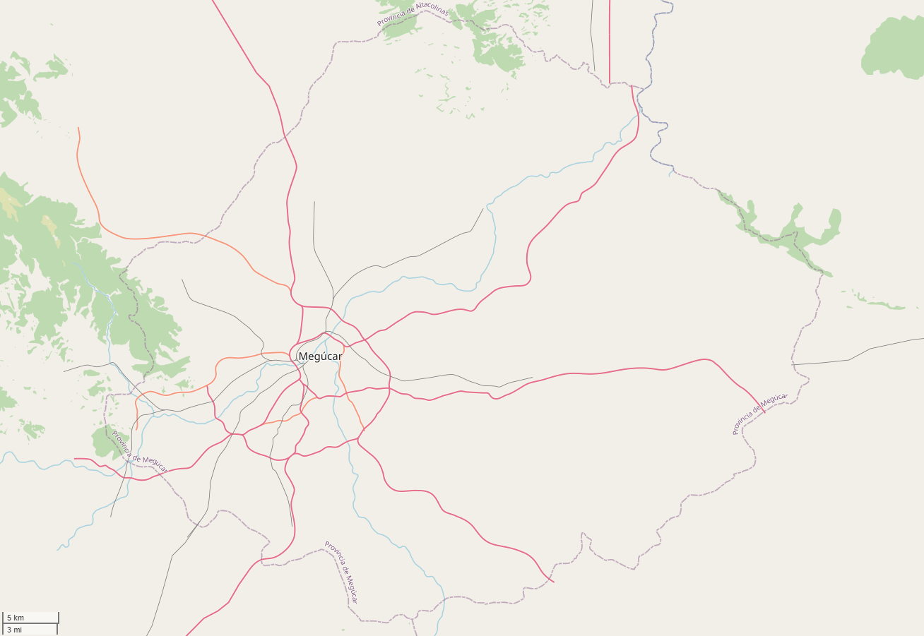
Screenshot of the first sketch of the Megúcar Province∈⊾ of Castellán, as of the 14th of May, 2024.
Licensing
| This map is a derivative of the OpenGeofiction base map, which is licensed under the Creative Commons Attribution-NonCommercial-ShareAlike License and is released under the same license. |
File history
Click on a date/time to view the file as it appeared at that time.
| Date/Time | Thumbnail | Dimensions | User | Comment | |
|---|---|---|---|---|---|
| current | 23:39, 13 May 2024 | | 1,308 × 901 (137 KB) | Martinawa (talk | contribs) | == Summary == Screenshot of the first sketch of the {{Relation|406019|Megúcar Province}} of Castellán, as of the 14th of May, 2024. Category:Castellan collaborative documentation |
You cannot overwrite this file.
File usage
The following page uses this file: