File:AN152e Plan.png: Difference between revisions
Enderbyte09 (talk | contribs) No edit summary |
Rustem Pasha (talk | contribs) mNo edit summary |
||
| Line 1: | Line 1: | ||
none | none | ||
== License == | |||
{{cc-ogf-map}} | |||
[[Category:Territory request images]] | |||
Latest revision as of 19:18, 13 September 2023
none
License
| This map is a derivative of the OpenGeofiction base map, which is licensed under the Creative Commons Attribution-NonCommercial-ShareAlike License and is released under the same license. |
File history
Click on a date/time to view the file as it appeared at that time.
| Date/Time | Thumbnail | Dimensions | User | Comment | |
|---|---|---|---|---|---|
| current | 21:47, 10 September 2023 | 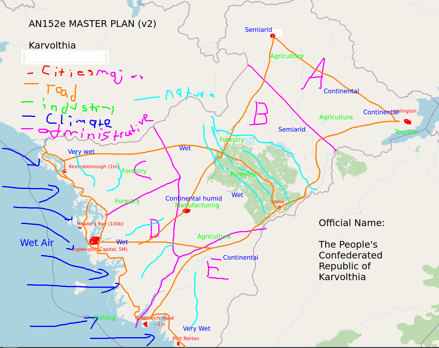 | 1,500 × 1,190 (341 KB) | Enderbyte09 (talk | contribs) |
You cannot overwrite this file.
File usage
There are no pages that use this file.