File:Bako-Huz SENTRUM hand drawn map.png: Difference between revisions
(Own Work. This is an image of the central part of the Bako-Huz map. Technically the district called “Sentrum”) |
Rustem Pasha (talk | contribs) mNo edit summary |
||
| (One intermediate revision by one other user not shown) | |||
| Line 3: | Line 3: | ||
== Licensing == | == Licensing == | ||
{{Cc-by-nc-nd}} | {{Cc-by-nc-nd}} | ||
[[Category:Kofuku]] | |||
[[Category:Hand-drawn maps]] | |||
[[Category:Local maps]] | |||
Latest revision as of 11:12, 28 March 2022
Summary
Own Work. This is an image of the central part of the Bako-Huz map. Technically the district called “Sentrum”
Licensing
| This image is licensed under the Creative Commons Attribution-NonCommercial-NoDerivatives License |
File history
Click on a date/time to view the file as it appeared at that time.
| Date/Time | Thumbnail | Dimensions | User | Comment | |
|---|---|---|---|---|---|
| current | 08:36, 28 March 2022 | 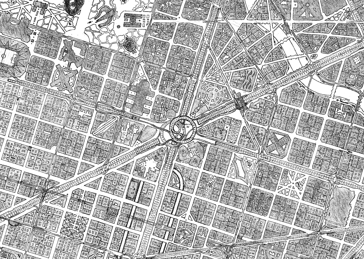 | 1,200 × 853 (1.3 MB) | Huachachi (talk | contribs) | Own Work. This is an image of the central part of the Bako-Huz map. Technically the district called “Sentrum” |
You cannot overwrite this file.
File usage
The following page uses this file: