File:EUC-Sudo-UL25.png: Difference between revisions
No edit summary |
Rustem Pasha (talk | contribs) mNo edit summary |
||
| Line 1: | Line 1: | ||
Sudo91's proposal for UL25 as part of updating the East Uletha Concept. Made with Adobe Illustrator. | Sudo91's proposal for UL25 as part of updating the East Uletha Concept. Made with Adobe Illustrator. | ||
== License == | |||
{{cc-ogf-map}} | |||
[[Category:Suggestion drafts]] | |||
Latest revision as of 10:18, 9 August 2022
Sudo91's proposal for UL25 as part of updating the East Uletha Concept. Made with Adobe Illustrator.
License
| This map is a derivative of the OpenGeofiction base map, which is licensed under the Creative Commons Attribution-NonCommercial-ShareAlike License and is released under the same license. |
File history
Click on a date/time to view the file as it appeared at that time.
| Date/Time | Thumbnail | Dimensions | User | Comment | |
|---|---|---|---|---|---|
| current | 11:06, 2 July 2022 | 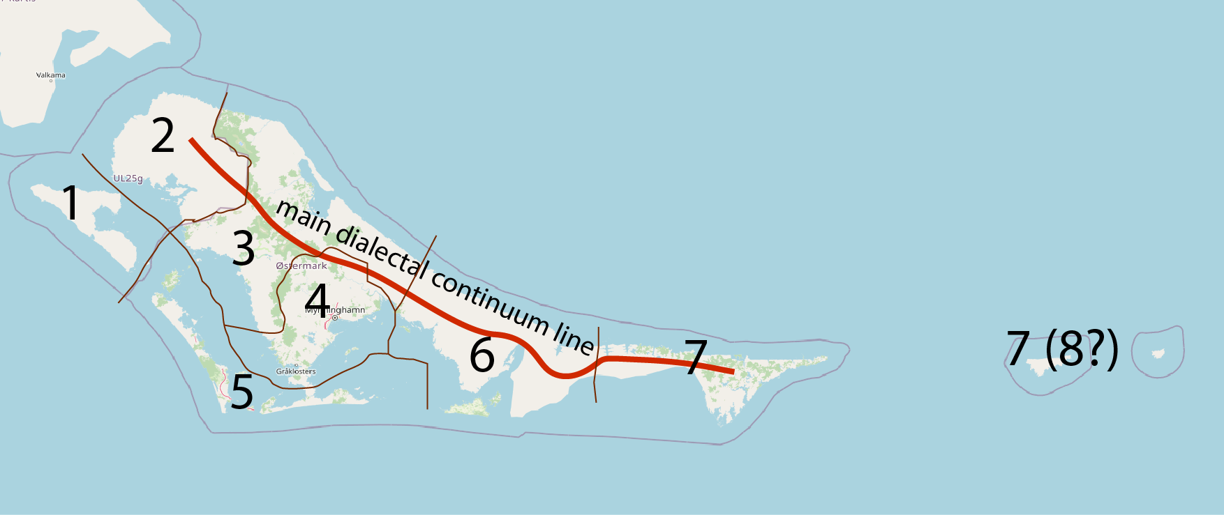 | 1,754 × 739 (169 KB) | Sudo91 (talk | contribs) |
You cannot overwrite this file.
File usage
The following page uses this file: