File:FS32plan.png: Difference between revisions
AnimationSky (talk | contribs) (Proposed route of FS-32, visual documentation.) |
AnimationSky (talk | contribs) |
||
| Line 1: | Line 1: | ||
== Summary == | == Summary == | ||
Proposed route of FS-32, visual documentation. | Proposed route of FS-32, visual documentation. Plans adapted from [[User:TheMayor|TheMayor]], and [[User:Alessa|Alessa]]. | ||
== Licensing == | == Licensing == | ||
{{Cc-ogf-map}} | {{Cc-ogf-map}} | ||
Latest revision as of 18:58, 28 April 2022
Summary
Proposed route of FS-32, visual documentation. Plans adapted from TheMayor, and Alessa.
Licensing
| This map is a derivative of the OpenGeofiction base map, which is licensed under the Creative Commons Attribution-NonCommercial-ShareAlike License and is released under the same license. |
File history
Click on a date/time to view the file as it appeared at that time.
| Date/Time | Thumbnail | Dimensions | User | Comment | |
|---|---|---|---|---|---|
| current | 18:57, 28 April 2022 | 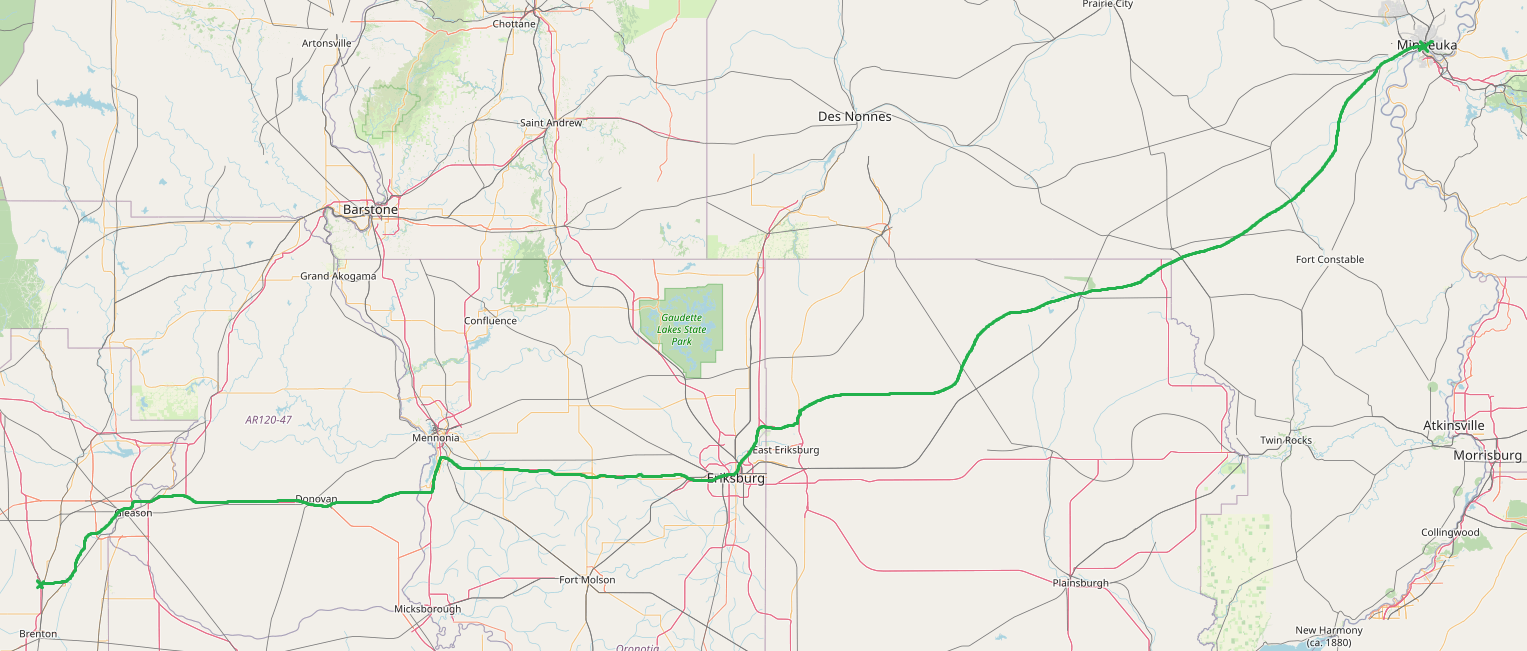 | 1,527 × 651 (529 KB) | AnimationSky (talk | contribs) | Proposed route of FS-32, visual documentation. |
You cannot overwrite this file.
File usage
The following page uses this file: