File:FSA FreightRailDraft.png
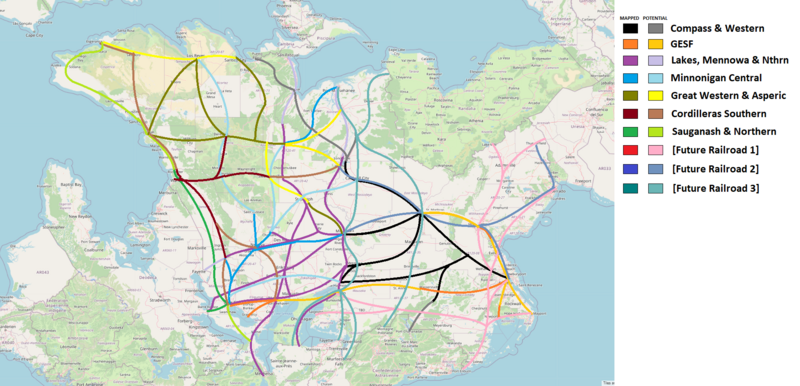
Size of this preview: 800 × 386 pixels. Other resolution: 1,940 × 936 pixels.
Original file (1,940 × 936 pixels, file size: 1.47 MB, MIME type: image/png)
Summary
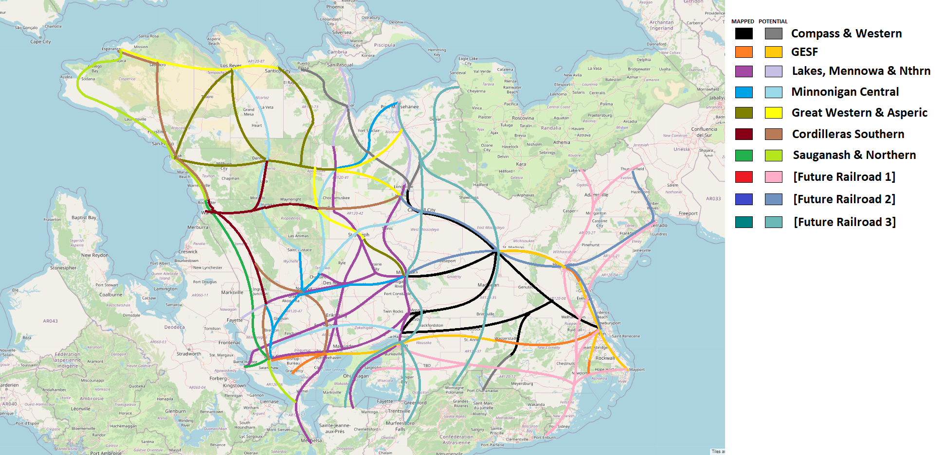
Draft proposal of a 10-company structure for the largest FSA railroads.
Licensing
| This map is a derivative of the OpenGeofiction base map, which is licensed under the Creative Commons Attribution-NonCommercial-ShareAlike License and is released under the same license. |
File history
Click on a date/time to view the file as it appeared at that time.
| Date/Time | Thumbnail | Dimensions | User | Comment | |
|---|---|---|---|---|---|
| current | 16:23, 8 August 2023 | | 1,940 × 936 (1.47 MB) | TheMayor (talk | contribs) | Updated with a CS branch to Dennison per Brunanter's comment. |
| 23:13, 29 June 2023 | Error creating thumbnail: File missing | 1,940 × 936 (1.47 MB) | TheMayor (talk | contribs) | Draft proposal of a 10-company structure for the largest FSA railroads. Category:Federal States |
You cannot overwrite this file.
File usage
The following page uses this file: