File:FreedemiAir flights Map.png: Difference between revisions
Ernestpkirby (talk | contribs) (Created by me in Affinity Designer. Based off the OGF map using a template created by Timboh. FreedemiAir logo by me. OneSky logo also by an OGF user, but I can no longer check the old wiki to see who it was that redid the logo.) |
Ernestpkirby (talk | contribs) m (categories) |
||
| Line 1: | Line 1: | ||
== Summary == | == Summary == | ||
Created by me in Affinity Designer. Based off the OGF map using a template created by Timboh. FreedemiAir logo by me. OneSky logo also by an OGF user, but I can no longer check the old wiki to see who it was that redid the logo. | Created by me in Affinity Designer. Based off the OGF map using a template created by Timboh. FreedemiAir logo by me. OneSky logo also by an OGF user, but I can no longer check the old wiki to see who it was that redid the logo. | ||
== Licensing == | == Licensing == | ||
{{Cc-ogf-map}} | {{Cc-ogf-map}} | ||
[[Category:Transport maps]][[Category:Freedemia]] | |||
Revision as of 13:19, 14 May 2022
Summary
Created by me in Affinity Designer. Based off the OGF map using a template created by Timboh. FreedemiAir logo by me. OneSky logo also by an OGF user, but I can no longer check the old wiki to see who it was that redid the logo.
Licensing
| This map is a derivative of the OpenGeofiction base map, which is licensed under the Creative Commons Attribution-NonCommercial-ShareAlike License and is released under the same license. |
File history
Click on a date/time to view the file as it appeared at that time.
| Date/Time | Thumbnail | Dimensions | User | Comment | |
|---|---|---|---|---|---|
| current | 00:08, 13 April 2024 | 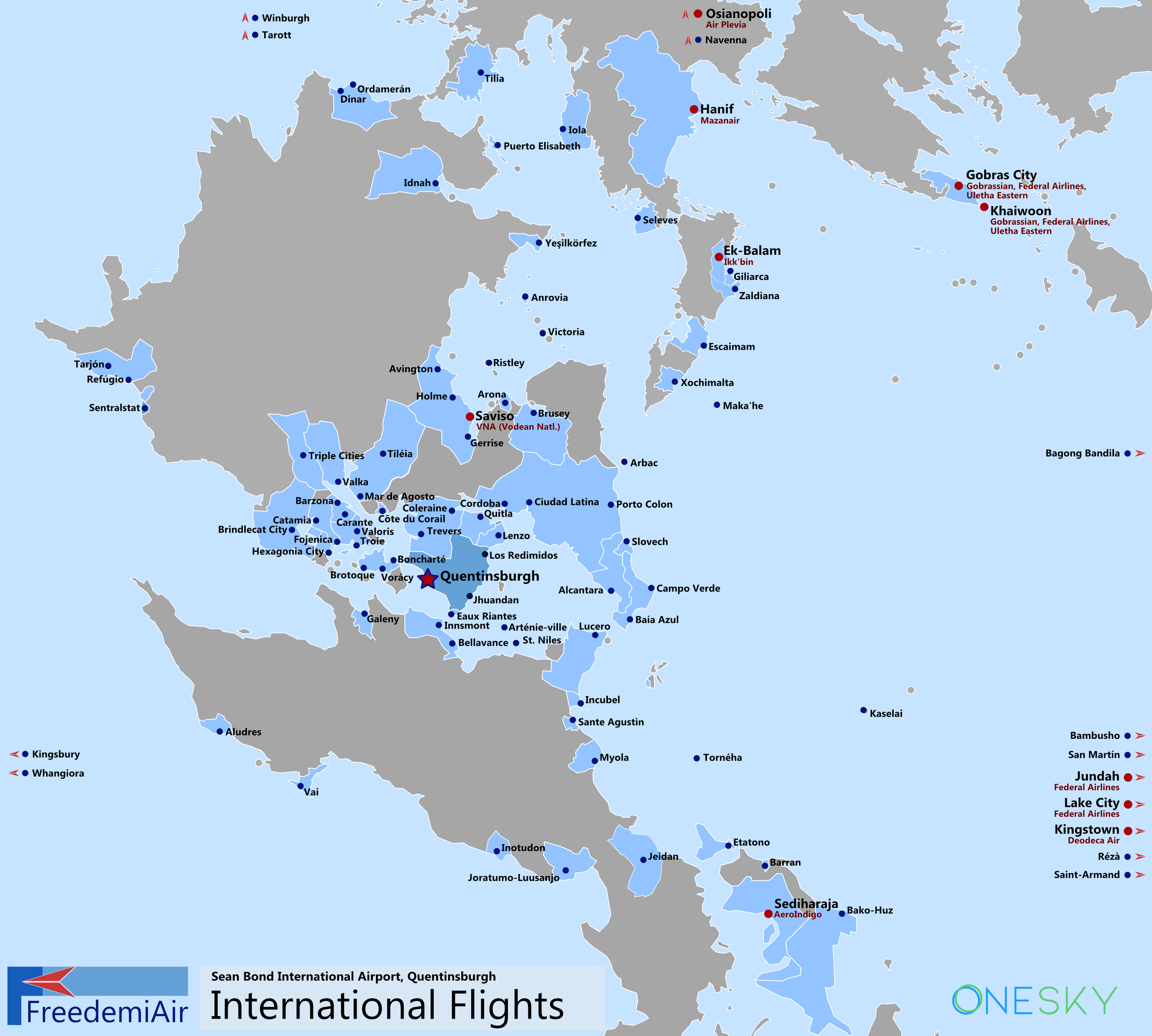 | 3,000 × 2,698 (920 KB) | Ernestpkirby (talk | contribs) | Additional flights (Arbac, Escaimam, Zaldiana, Yeşilkörfez) and Ragoha -> Quitla |
You cannot overwrite this file.
File usage
The following page uses this file: