File:Huysburg1780 center.jpg: Difference between revisions
No edit summary |
Rustem Pasha (talk | contribs) m (lic, cat) |
||
| Line 1: | Line 1: | ||
Huysburg City centre in 1780 | Huysburg City centre in 1780 | ||
== License == | |||
{{cc-ogf-map}} | |||
[[Category:Fayaan]] | |||
[[Category:Historical maps]] | |||
[[Category:Local maps]] | |||
Latest revision as of 12:50, 3 April 2022
Huysburg City centre in 1780
License
| This map is a derivative of the OpenGeofiction base map, which is licensed under the Creative Commons Attribution-NonCommercial-ShareAlike License and is released under the same license. |
File history
Click on a date/time to view the file as it appeared at that time.
| Date/Time | Thumbnail | Dimensions | User | Comment | |
|---|---|---|---|---|---|
| current | 07:05, 1 April 2022 | 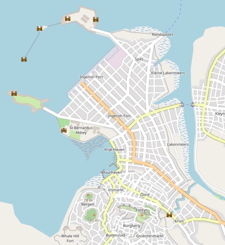 | 741 × 807 (137 KB) | Fayaan (talk | contribs) |
You cannot overwrite this file.
File usage
The following page uses this file: