File:Northeastern FSA motorways 3.png

Size of this preview: 800 × 538 pixels. Other resolution: 1,207 × 811 pixels.
Original file (1,207 × 811 pixels, file size: 759 KB, MIME type: image/png)
Summary
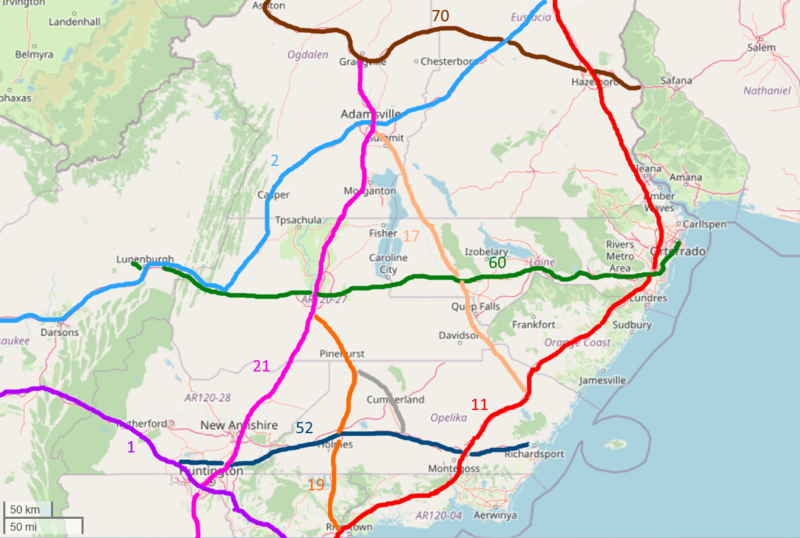
OGF Screenshot, edited in paint.net
Licensing
| This map is a derivative of the OpenGeofiction base map, which is licensed under the Creative Commons Attribution-NonCommercial-ShareAlike License and is released under the same license. |
File history
Click on a date/time to view the file as it appeared at that time.
| Date/Time | Thumbnail | Dimensions | User | Comment | |
|---|---|---|---|---|---|
| current | 02:42, 14 March 2024 | | 1,207 × 811 (759 KB) | Fluffr Nuttr (talk | contribs) | OGF Screenshot, edited in paint.net |
You cannot overwrite this file.
File usage
The following page uses this file: