File:Provincia piloto martinawa.png

Size of this preview: 782 × 600 pixels. Other resolution: 872 × 669 pixels.
Original file (872 × 669 pixels, file size: 125 KB, MIME type: image/png)
Summary
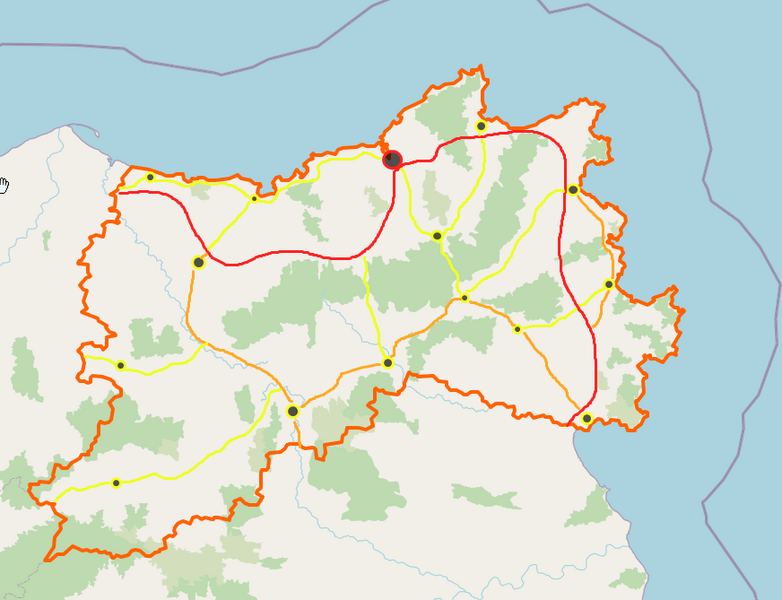
Proposal for then regional mapping for the pilot province of Castellán by User:Martinawa
Licensing
| This map is a derivative of the OpenGeofiction base map, which is licensed under the Creative Commons Attribution-NonCommercial-ShareAlike License and is released under the same license. |
File history
Click on a date/time to view the file as it appeared at that time.
| Date/Time | Thumbnail | Dimensions | User | Comment | |
|---|---|---|---|---|---|
| current | 23:32, 6 September 2022 | | 872 × 669 (125 KB) | Martinawa (talk | contribs) | Proposal for then regional mapping for the pilot province of Castellán by User:Martinawa Category:Castellan collaborative documentation |
You cannot overwrite this file.
File usage
The following page uses this file: