File:Psm metro lines.png

Size of this preview: 678 × 599 pixels. Other resolution: 2,009 × 1,776 pixels.
Original file (2,009 × 1,776 pixels, file size: 233 KB, MIME type: image/png)
Summary
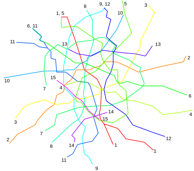
Pyingshum Metro network map, made by me using LibreOffice Draw.
Licensing
| This image is licensed under the Creative Commons Attribution-NonCommercial-ShareAlike License |
File history
Click on a date/time to view the file as it appeared at that time.
| Date/Time | Thumbnail | Dimensions | User | Comment | |
|---|---|---|---|---|---|
| current | 11:19, 15 February 2022 | | 2,009 × 1,776 (233 KB) | Leowezy (talk | contribs) | Pyingshum Metro network map, made by me using LibreOffice Draw. Category:Kojo Category:Transport maps |
You cannot overwrite this file.
File usage
The following page uses this file: