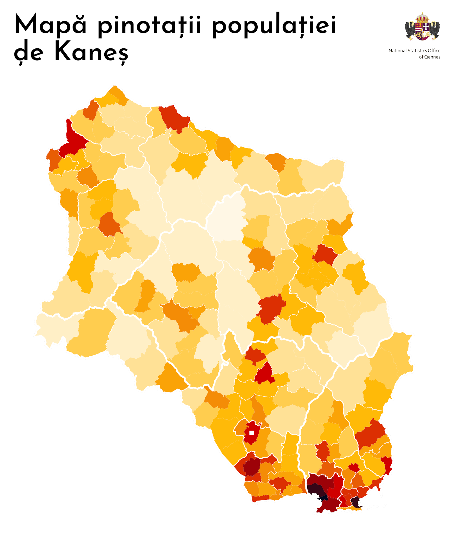
File:QNPop Density.png
Size of this preview: 516 × 599 pixels. Other resolution: 1,500 × 1,741 pixels.
Original file (1,500 × 1,741 pixels, file size: 488 KB, MIME type: image/png)
Summary
Map template provided by User:Timboh. Coat of arms information can be found here.
Licensing
| This map is a derivative of the OpenGeofiction base map, which is licensed under the Creative Commons Attribution-NonCommercial-ShareAlike License and is released under the same license. |
File history
Click on a date/time to view the file as it appeared at that time.
| Date/Time | Thumbnail | Dimensions | User | Comment | |
|---|---|---|---|---|---|
| current | 16:46, 2 July 2023 | | 1,500 × 1,741 (488 KB) | Bixelkoven (talk | contribs) | Resizing |
| 16:44, 2 July 2023 | Error creating thumbnail: File with dimensions greater than 12.5 MP | 4,307 × 5,000 (357 KB) | Bixelkoven (talk | contribs) | Resizing | |
| 16:42, 2 July 2023 | Error creating thumbnail: File with dimensions greater than 12.5 MP | 4,307 × 5,000 (990 KB) | Bixelkoven (talk | contribs) | Map template provided by User:Timboh. Coat of arms information can be found [https://wiki.opengeofiction.net/index.php/File:CoAQennes.png here]. Category:Qennes Cateogory:Demographic maps |
You cannot overwrite this file.
File usage
There are no pages that use this file.