Category:Topographic maps
Media in category "Topographic maps"
The following 14 files are in this category, out of 14 total.
-
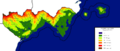
 Aden Elevation Map.png 1,050 × 900; 518 KB
-
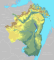
 Ambroisie relief.jpg 1,126 × 1,249; 203 KB
-
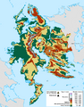
 Demirhan topomap.png 3,500 × 2,300; 622 KB
-
 Eelvation - Hamidiyye-01.jpg 3,508 × 2,480; 1.65 MB
-
 Furgenia proposal.png 1,920 × 1,005; 139 KB
-
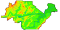
 Gresonie - relief.jpg 2,945 × 2,147; 582 KB
-
 Guai Relief.svg 737 × 583; 465 KB
-
 JKP-25-04 D4.0 - Elevation 250.png 2,388 × 1,774; 545 KB
-
 Lechia - preliminary outline of a topographic map.png 1,482 × 1,651; 622 KB
-
 NC Topo and Hydrography.png 1,306 × 648; 52 KB
-
 New Carnaby Topo sketch.png 1,364 × 648; 282 KB
-
 Ogdalentopo.png 719 × 674; 18 KB
-
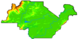
 Tarap Hidivlik - topography.png 1,920 × 817; 113 KB
-
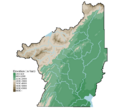
 Wu ele.png 1,937 × 2,480; 1.05 MB


