File:Averleigh Rough Map.png
Size of this preview: 423 × 600 pixels. Other resolution: 1,603 × 2,272 pixels.
Original file (1,603 × 2,272 pixels, file size: 707 KB, MIME type: image/png)
Summary
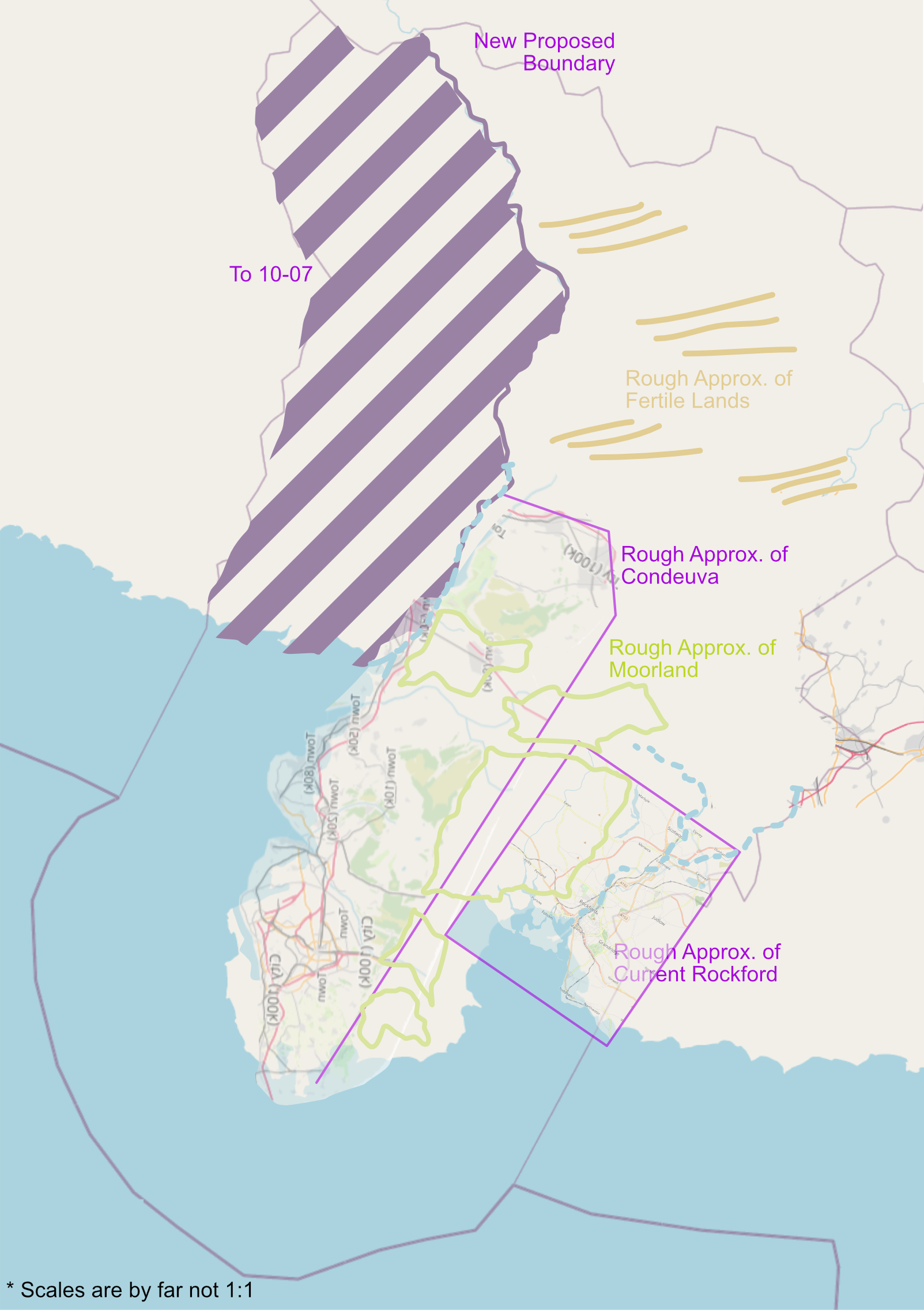
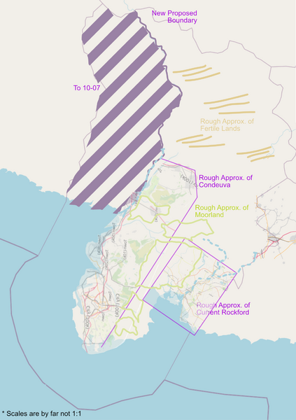
A rough map for my application for UL10-06, imposing rough approximations of current mapping to be brought over, and major geographic landuses.
License
| This map is a derivative of the OpenGeofiction base map, which is licensed under the Creative Commons Attribution-NonCommercial-ShareAlike License and is released under the same license. |
File history
Click on a date/time to view the file as it appeared at that time.
| Date/Time | Thumbnail | Dimensions | User | Comment | |
|---|---|---|---|---|---|
| current | 19:57, 7 July 2023 | | 1,603 × 2,272 (707 KB) | Aces California (talk | contribs) | A rough map for my application for UL10-06, imposing rough approximations of current mapping to be brought over, and major geographic landuses. |
You cannot overwrite this file.
File usage
The following page uses this file: