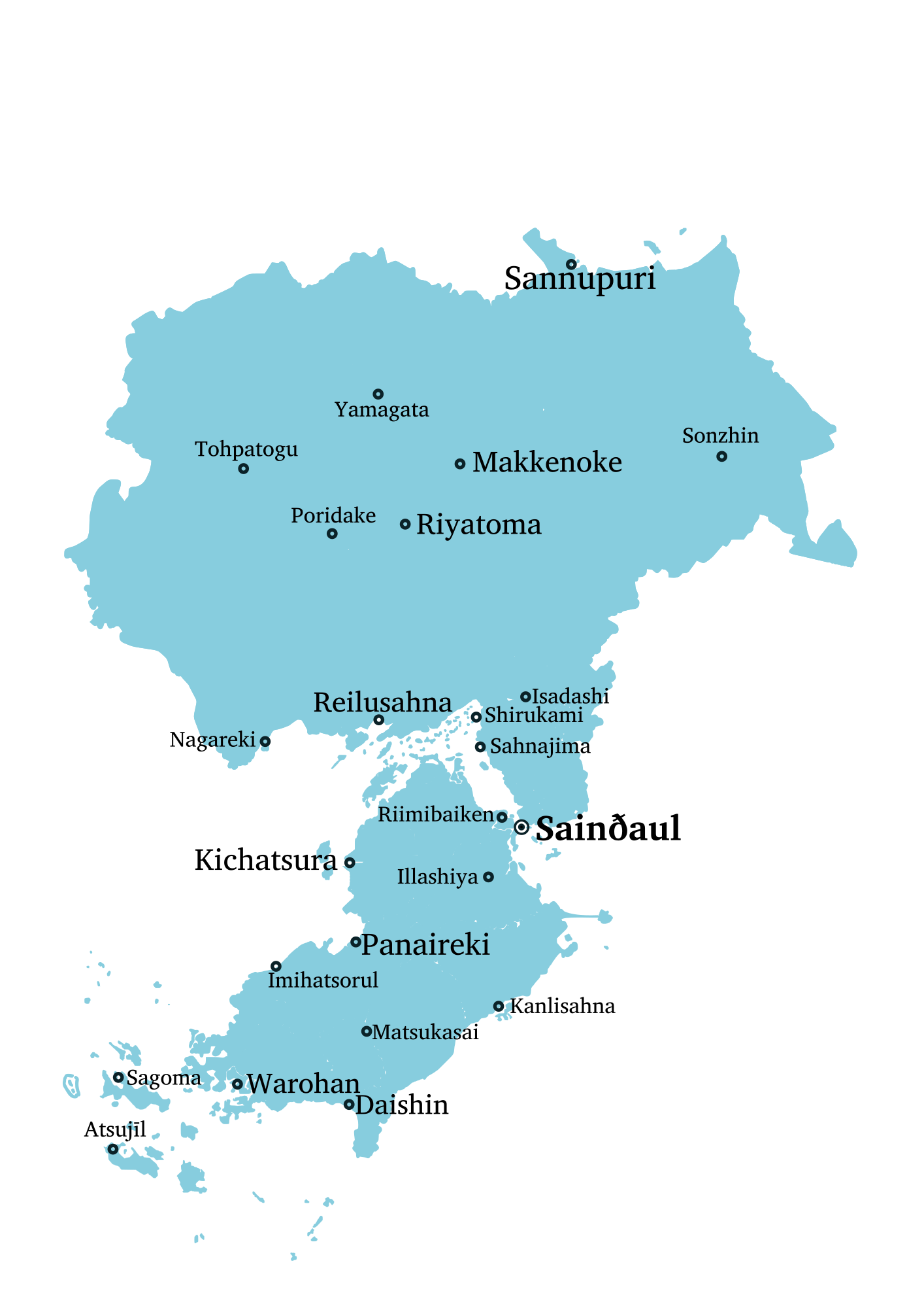
File:Cities of Izaland.png
Size of this preview: 424 × 600 pixels. Other resolution: 1,414 × 2,000 pixels.
Original file (1,414 × 2,000 pixels, file size: 233 KB, MIME type: image/png)
Summary
Own work
Licensing
| This map is a derivative of the OpenGeofiction base map, which is licensed under the Creative Commons Attribution-NonCommercial-ShareAlike License and is released under the same license. |
File history
Click on a date/time to view the file as it appeared at that time.
| Date/Time | Thumbnail | Dimensions | User | Comment | |
|---|---|---|---|---|---|
| current | 04:03, 9 May 2022 | | 1,414 × 2,000 (233 KB) | Izaland Terramorphing Committee (talk | contribs) | Own work Category:Izaland Category:Category:Demographic maps |
You cannot overwrite this file.
File usage
The following 2 pages use this file: