File:Demirhan - road numbering.png

Size of this preview: 782 × 600 pixels. Other resolutions: 2,560 × 1,963 pixels | 3,000 × 2,300 pixels.
Original file (3,000 × 2,300 pixels, file size: 322 KB, MIME type: image/png)
Summary
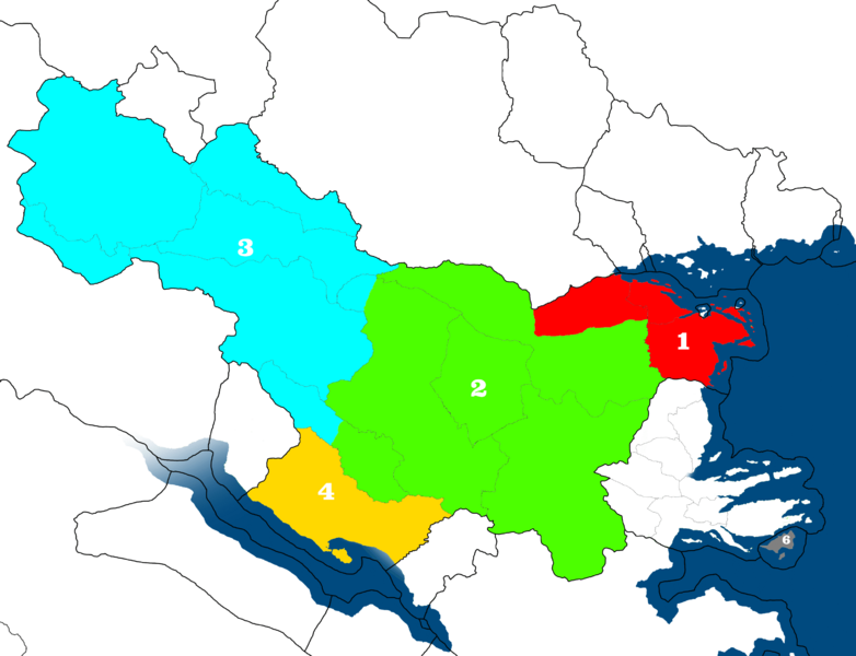
Road numbering zones in Demirhan Empire compared to administrative divisions.
Licensing
| This map is a derivative of the OpenGeofiction base map, which is licensed under the Creative Commons Attribution-NonCommercial-ShareAlike License and is released under the same license. |
File history
Click on a date/time to view the file as it appeared at that time.
| Date/Time | Thumbnail | Dimensions | User | Comment | |
|---|---|---|---|---|---|
| current | 09:09, 16 July 2023 | | 3,000 × 2,300 (322 KB) | Rustem Pasha (talk | contribs) | Road numbering zones in Demirhan Empire compared to administrative divisions. Category:Demirhan Empire Category:Transport maps |
You cannot overwrite this file.
File usage
The following page uses this file: