File:Lentia cities and boundaries.png

Size of this preview: 783 × 599 pixels. Other resolution: 1,152 × 882 pixels.
Original file (1,152 × 882 pixels, file size: 110 KB, MIME type: image/png)
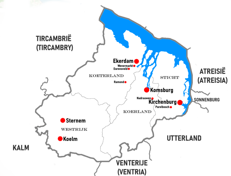
A map of Lentia with the largest cities and national and regional boundaries
License
| This map is a derivative of the OpenGeofiction base map, which is licensed under the Creative Commons Attribution-NonCommercial-ShareAlike License and is released under the same license. |
File history
Click on a date/time to view the file as it appeared at that time.
| Date/Time | Thumbnail | Dimensions | User | Comment | |
|---|---|---|---|---|---|
| current | 16:26, 2 June 2024 | | 1,152 × 882 (110 KB) | Mantan (talk | contribs) |
You cannot overwrite this file.
File usage
The following page uses this file: