File:Les Grandes Régions de Franqueterre du Sud.png

Size of this preview: 800 × 450 pixels. Other resolutions: 2,560 × 1,440 pixels | 3,884 × 2,185 pixels.
Original file (3,884 × 2,185 pixels, file size: 236 KB, MIME type: image/png)
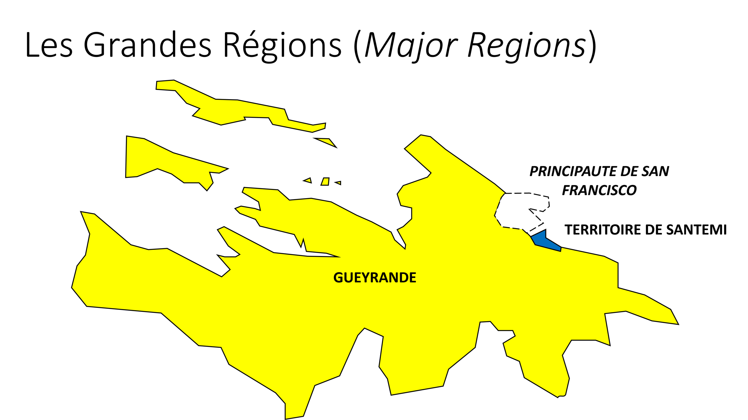
Schematic map of the Small Regions of Franqueterre du Sud
License
| This map is a derivative of the OpenGeofiction base map, which is licensed under the Creative Commons Attribution-NonCommercial-ShareAlike License and is released under the same license. |
File history
Click on a date/time to view the file as it appeared at that time.
| Date/Time | Thumbnail | Dimensions | User | Comment | |
|---|---|---|---|---|---|
| current | 10:27, 20 August 2023 | | 3,884 × 2,185 (236 KB) | Paul Pfh (talk | contribs) |
You cannot overwrite this file.
File usage
The following page uses this file: