File:MP Route Marker.png
No higher resolution available.
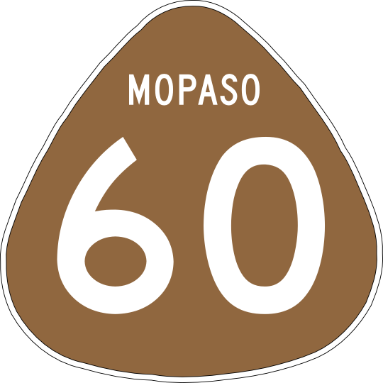
MP_Route_Marker.png (540 × 540 pixels, file size: 52 KB, MIME type: image/png)
Summary
Mopaso State Route Marker Example (M-60). Route sign is modelled after the Hawaii State Route marker.
Attribution
Derivative work designed by indyroads in Inkscape.
- Shield Shape source - Wikimedia Commons
Licensing
| This image is licensed under the Creative Commons Attribution-NonCommercial License |
File history
Click on a date/time to view the file as it appeared at that time.
| Date/Time | Thumbnail | Dimensions | User | Comment | |
|---|---|---|---|---|---|
| current | 21:31, 29 August 2023 | | 540 × 540 (52 KB) | Indyroads (talk | contribs) | Mopaso State Route Marker Example (M-60). Route sign is modelled after the Hawaii State Route marker. == Attribution == Derivative work designed by {{OGF user|indyroads}} in Inkscape. *Shield Shape source - Wikimedia Commons == Licensing == {{Cc-by-nc}} Category:Alora Category:Highway shields |
You cannot overwrite this file.
File usage
The following page uses this file: