File:Ogfplacenight.jpg

Size of this preview: 600 × 600 pixels. Other resolutions: 2,048 × 2,048 pixels | 4,960 × 4,960 pixels.
Original file (4,960 × 4,960 pixels, file size: 687 KB, MIME type: image/jpeg)
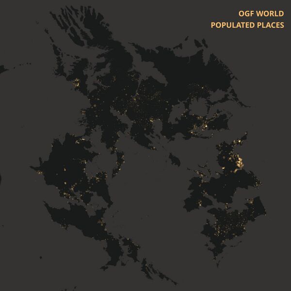
Summary
This dark-style map visualizes populated places across the OpenGeofiction (OGF). Each glowing dot represents a settlement, with larger dot indicating higher population. The map highlights global settlement patterns in the OGF universe without showing political borders or labels.
Licensing
| This map is a derivative of the OpenGeofiction base map, which is licensed under the Creative Commons Attribution-NonCommercial-ShareAlike License and is released under the same license. |
File history
Click on a date/time to view the file as it appeared at that time.
| Date/Time | Thumbnail | Dimensions | User | Comment | |
|---|---|---|---|---|---|
| current | 11:41, 10 July 2025 | | 4,960 × 4,960 (687 KB) | Senja (talk | contribs) | This dark-style map visualizes populated places across the OpenGeofiction (OGF). Each glowing dot represents a settlement, with larger dot indicating higher population. The map highlights global settlement patterns in the OGF universe without showing political borders or labels. |
You cannot overwrite this file.
File usage
There are no pages that use this file.